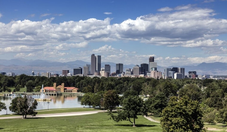
Denver is waking up mostly cloudy and around 59°F this Monday, but the calm will not last long. A warm and unsettled afternoon is on tap, with a high near 81°F and scattered storms expected to fire up after midday. A few could turn strong to severe, packing damaging gusts, large hail, and even brief tornadoes before congealing into a line of storms.
Afternoon Storms And Impacts
Storm development is most likely after midday, with the prime window across the metro after about 2 p.m. MDT and into the early evening. According to the National Weather Service, a handful of storms could reach strong-to-severe levels, bringing damaging winds, large hail, and pockets of heavy rain. If one of those stronger cells rolls over Denver International Airport, brief gusts near 50 mph are possible. As of this update, there are no watches or warnings in effect for the Denver and Boulder area.
Travel And Events
Late-day plans may need some juggling. Commutes could slow down in heavy rain, and outdoor events are at the mercy of any storm that pops up over the city at the wrong time. Recent storms on Saturday that prompted an FAA ground stop at Denver International are a fresh reminder that weather can quickly ripple through air travel, and today’s setup could bring short interruptions to flights and road travel again. If you are flying this evening or heading to a big outdoor gathering, it is worth checking airline and venue updates before you head out the door.
What To Do
Have a backup plan for anything outside this afternoon and evening, keep a rain jacket within reach, and secure loose patio furniture or umbrellas before storms get going. Drivers should slow down in sudden downpours and pull over if large hail starts hammering the windshield. If winds ramp up suddenly, move to a sturdy indoor spot away from windows and ride out the worst of it. Keeping local weather alerts turned on will help you stay ahead of fast-changing conditions.
Looking Ahead
Storm chances linger into Tuesday and Wednesday, while daytime highs climb into the low to mid-80s. After that, the pattern turns warmer and drier heading toward late week. Expect highs near 88°F on Thursday and around 90°F by Friday, with sunnier skies taking over into the weekend. If you have outdoor plans later this week, it will pay to keep an eye on updated forecasts as the heat builds back in.


