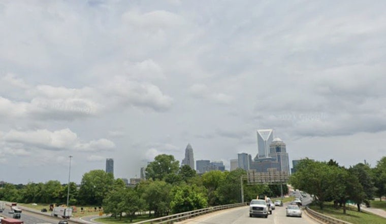
Tuesday started on a rare mellow note in Charlotte, with mostly clear skies and temperatures sitting in the low 70s. After the recent heat, today feels noticeably cooler, with an afternoon high near 80°F and lower humidity making it easier to be outside. East-southeast winds stay light around 3 to 7 mph, so the morning commute should be smooth.
Afternoon And Tonight
This afternoon turns mostly cloudy, but the high still tops out near 80°F. Overnight, temperatures slip to around 65°F. Rain chances stay low overall, though a stray shower could pop up over the southern suburbs. Winds become light and variable tonight before turning out of the southwest on Wednesday.
Late-Week Wind And Storm Risk
Heat and humidity begin to creep back in by midweek. Highs climb to around 89°F on Wednesday and near 92°F on Thursday, with the muggy feel returning. Southwest winds pick up on Thursday, with sustained speeds of 14 to 18 mph and gusts that could reach 30 to 35 mph. A slight chance of late-day storms on Thursday may grow into a more widespread round of showers and thunderstorms from Thursday night into Friday. Forecasters say locally heavy rain and stronger, potentially damaging wind gusts are possible in that late-week window, so keep an eye on updates from the National Weather Service Greenville-Spartanburg.
Juneteenth Plans
Friday, June 19, which is Juneteenth, currently carries a high chance of showers and thunderstorms, so outdoor celebrations need a solid backup plan. The late-week threat was previewed this past weekend; see Queen City broils at 96 for background and local resources. If you are organizing or attending events, think about indoor options or movable shelter so you are not caught in a sudden downpour.
Plan Ahead
Secure patio furniture, temporary tents, and other loose items before Thursday afternoon, and be ready for gusty crosswinds on bridges and other exposed roads during the late-week wind surge. Check radar before you head out for work or events, build in extra travel time if you will be driving in the evening, and stay tuned to local forecasts for any watches or warnings. Libraries and recreation centers are commonly used as cooling or relief sites during heat episodes, and if conditions change officials may add more locations or transit options.


