Milwaukee started Sunday, June 7 with a classic lakefront combo: cool air off Lake Michigan and patches of fog hugging the shoreline, with temps stuck in the upper 50s. Inland neighborhoods should shake it off into mostly sunny skies and a high near 72°F, while spots right along the lake stay a few degrees cooler. A light northeast breeze will keep the shoreline feeling mild through the afternoon.
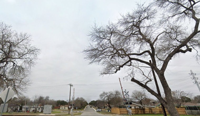
Morning Fog And Lakeshore Breeze
Dense fog is expected over parts of Lake Michigan and nearshore areas through 1 p.m. Sunday, June 7, leading to pockets of sharply reduced visibility. According to National Weather Service Milwaukee, boaters and anyone traveling close to the water should be ready for marine fog to form quickly and without much warning. The same onshore flow that is feeding the fog will also cap shower chances, keeping most of the metro area dry today.
Monday Into Monday Night: Rounds Of Showers And Thunder
A wetter setup slides in Monday, June 8, with scattered afternoon thunderstorms possible and a much higher chance for widespread showers and storms Monday night into Tuesday morning (June 8 to June 9). Forecasters expect the main band of rain Monday night to deliver steady, soaking periods, with most spots picking up a few tenths of an inch. Localized totals could top an inch where storms repeatedly track over the same neighborhoods. Southeast winds will help pull more humid air into the region, though lake breezes may keep instability a bit lower right along the shoreline.
Hot And Humid Midweek
Temperatures bounce back quickly behind the rain. On Tuesday, June 9, highs climb into the 80s, then push into the low 90s on Wednesday, June 10 as humidity ramps up. That sticky combo could flirt with official Heat Advisory criteria by mid to late week, meaning hot afternoons and not much overnight relief. Scattered storm chances stick around Wednesday night into Thursday, especially farther inland.
What To Know For Plans
Got outdoor plans Monday evening? Have a backup. Expect possible delays or cancellations, and keep the rain gear handy, as heavier downpours could cause ponding on low-lying streets. Boaters may want to hold off until visibility improves and should check the latest marine forecast before heading out.
Once the heat kicks in midweek, pace yourself: drink plenty of water, check in on elderly or medically vulnerable neighbors, and make sure pets have shade and fresh water. Try to move strenuous outdoor work to the cooler morning or evening hours.
This update fine-tunes the week’s outlook with a new dense-fog advisory and clearer timing for the late-Monday rain. For background on the developing warm spell, see our cool-to-steamy week preview. We’ll post updates if any watches or warnings are issued.


