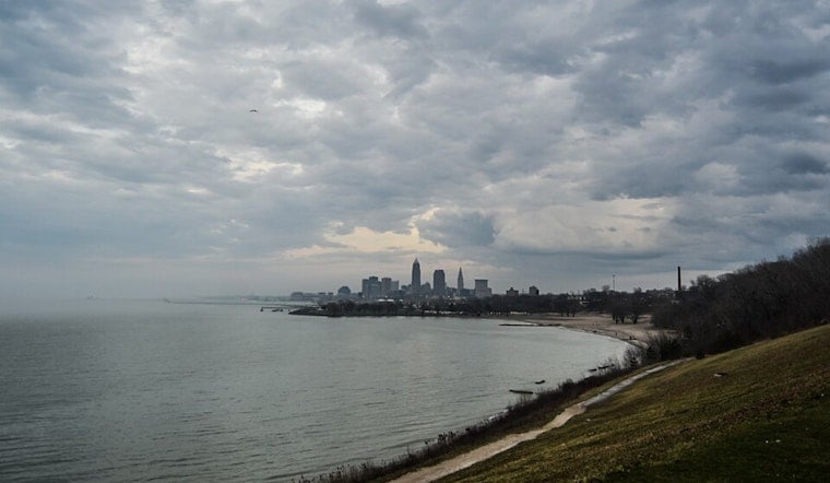
Cleveland is easing today with a mild start and clear early skies, morning readings hovering near 64°F (18°C) at local observing sites. Clouds will build through the day, with mostly cloudy conditions this afternoon, a comfortable high near 73°F, and a light northwest breeze. Keep the umbrella close tonight, because evening rain could put the brakes on the ride home.
Tonight: Showers Likely After 8 p.m.
Rain showers are likely after 8 p.m. today, with forecasters calling for about a 60% chance of precipitation. Most spots north of U.S. Route 30 should see roughly a tenth to a quarter of an inch of rain, while areas farther south could pick up around six-tenths of an inch. Isolated thunderstorms may pop up, but widespread severe storms are not expected, according to the National Weather Service Cleveland. Plan on wet pavement and slower traffic if you are out during the late evening.
Saturday: Showers Early, Clearing by Evening
Leftover showers should linger tomorrow morning, before shutting down for most of the area by about 2 p.m. As the rain exits, skies turn partly sunny, with afternoon highs near 75°F. Northeast winds will pick up to around 5 to 12 mph. Tomorrow night looks quieter and drier, with lows settling into the low 60s. If you are angling for outdoor time, circle the afternoon on your calendar or have a quick rain backup for the early hours.
Next Week: Heat Builds Quickly
A warmer, stickier pattern rolls in Sunday, June 28, and hangs on into next week. Highs climb to about 81°F on Sunday, then jump into the upper 80s and low 90s by Tuesday, June 30, and Wednesday, July 1. Heat indices could reach 100 to 105°F in parts of the region from Tuesday through Thursday, June 30 through July 2, as humidity ramps up. Forecasters expect daily chances for scattered showers and thunderstorms at times as the muggy air settles in. The National Weather Service Cleveland highlights the warming trend and suggests keeping an eye out for possible heat alerts.
What To Do
Plan for slick roads and pockets of heavier rain tonight that could slow the evening commute, and take it easy where water collects. For a refresher on how this unsettled pattern developed, check out our earlier coverage of the Sunday night soaker. Looking ahead to next week, if the heat could be an issue for you or someone you know, check city or county websites or call 2-1-1 for information on cooling centers, and make a plan now to stay hydrated and out of the worst of the afternoon sun.


.jpg)