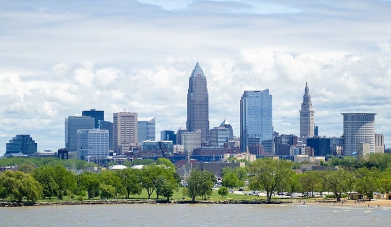
Mostly clear and muggy early Monday in Cleveland, with temperatures starting in the mid-60s. Skies stay mostly sunny this afternoon, and the high is expected to reach near 87°F with a light east breeze of 5 to 8 mph. Clouds build back in tonight, with a slight chance of showers and thunderstorms overnight into Tuesday morning, and a warm low around 72°F.
Midweek Heat Peaks
Temperatures climb into the upper 80s to around 90°F from Tuesday, June 9, through Thursday, June 11, and the humidity comes right along for the ride. Overnight lows will not offer much relief, holding in the upper 60s to lower 70s. Peak heat-index values could approach 100°F on Wednesday, June 10, and Thursday, June 11, making any midafternoon outdoor plans feel a lot hotter than the thermometer suggests. This stretch of hot, humid afternoons and warm nights is outlined by the National Weather Service in Cleveland.
Storms Likely Tuesday And Thursday
Showers and thunderstorms are likely on Tuesday, June 9, with daytime rain chances around 70 percent and a roughly 90 percent chance of showers or storms from Tuesday night into Wednesday morning. Forecasters note that storms could bring brief heavy downpours, and periodic daily thunderstorm chances continue through Thursday, June 11. There is also a small but noteworthy chance for stronger storms late in the week, so keeping outdoor plans flexible is a smart move.
What To Do Today And This Week
Try to schedule strenuous outdoor work for the morning hours and drink plenty of water during the hottest part of the day. If you work or exercise outside, seek out air-conditioned spaces whenever possible. For lake or boating plans, keep an eye on choppy water and lightning on storm days and follow lifeguard and park guidance. You can find more context in our earlier coverage of weekend lake conditions. For the latest watches, warnings, and timing, check updates from the National Weather Service in Cleveland before heading out.


