Detroit is starting today on a cool and crystal-clear note. Metro Detroit is near 52°F this morning at Detroit Metro Airport with bright sunshine already in play. Afternoon temperatures are expected to climb to a high near 78°F with a light east-northeast breeze around 2 to 10 mph. Late this afternoon, temperatures should only slip a couple of degrees as that breeze picks up a bit along the riverfront.
Afternoon Winds And Boating
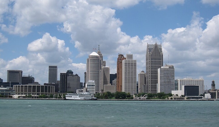
According to the National Weather Service, a Small Craft Advisory is in effect for nearby lake waters from noon to 10 p.m. today, so boaters should secure loose gear and check conditions closely before heading out. The strongest gusts are expected over open water, and quick bursts of wind near the riverfront this afternoon could make for some choppy rides.
Midweek Warmup
Dry, sunny weather holds through tomorrow and Wednesday. Highs should land around 78°F tomorrow, then climb into the lower 80s on Wednesday. Northeast winds will be a bit stronger tomorrow, with gusts up to about 18 mph inland, so spots exposed along the river may feel breezier even as the sun does its work.
Weekend Heat And Storm Chances
The pattern flips late in the week. Look for highs in the upper 80s by Thursday, June 4, and Friday, June 5, along with a noticeable rise in humidity. That extra heat and moisture will help fuel a return of showers and thunderstorms starting Friday and lingering into the weekend.
What To Pack
Plan on a light layer for the cool mornings and sunscreen for the midday sun. If you are setting up along the riverfront, secure tents, canopies, or other covers in case those gusts kick in. Check both the general forecast and marine conditions before getting on the water, and have an indoor backup in mind if your plans land on Friday night or over the weekend.


.jpg)