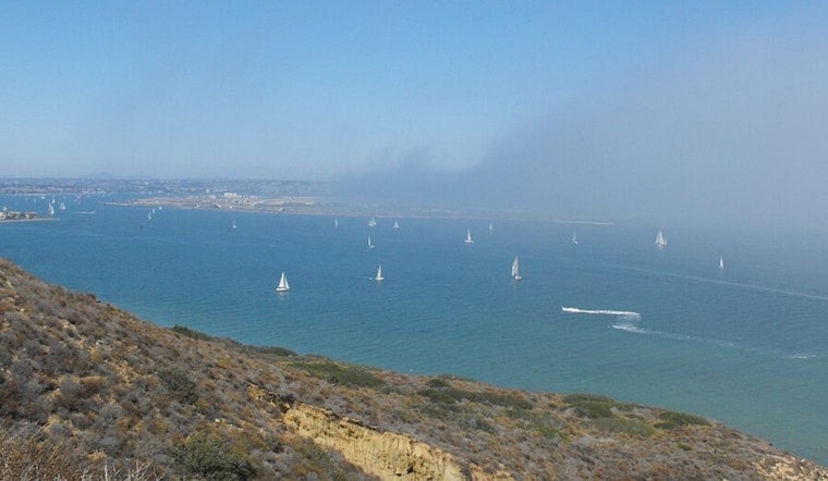
San Diego is waking up on the gray and sticky side at KSAN this morning, sitting around 66°F (19°C) with patchy low clouds hugging the coast. Fog is expected to hang around through the early commute before clearing to mostly sunny skies by afternoon, with a high near 76°F today. Drivers along coastal routes should watch for reduced visibility in the early hours, while inland neighborhoods warm up a few degrees more than the beaches later in the day.
Afternoon Winds Pick Up
Northwest winds will build this afternoon to around 5 to 10 mph, with local gusts up to 20 mph, especially near waterfront neighborhoods and canyon exits. Small boats and paddlecraft can expect choppy nearshore waters and should plan a little extra time for coastal travel, according to the National Weather Service San Diego.
Beach Hazards And Rip Currents
A Beach Hazards Statement remains in effect through Friday, June 19, as a south swell sends in 3 to 6 foot surf with occasional sets up to 7 feet and a high risk of rip currents. Beachgoers can check the daily flag status and safety updates on the San Diego Lifeguard Service website.
What To Expect Later This Week
Patchy low clouds are expected to return overnight and each morning through midweek, with afternoons turning mostly sunny and highs holding in the low to mid 70s along the coast. Inland valleys and deserts should run a few degrees warmer through Wednesday, before a deeper marine layer moves in late in the week, bringing cooler mornings and a more persistent gray sky over coastal areas, so you may want to time your outdoor plans around the slower clearing.


