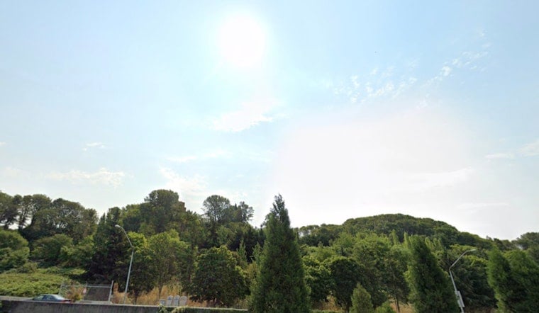
Seattle woke up under clear skies on Monday, June 22, 2026, with cool dawn temperatures in the upper 50s around Boeing Field and a quick warm-up already in the cards. A Heat Advisory covers much of the city from 11 a.m. Monday through 11 p.m. Wednesday, so expect hot afternoons and relatively mild nights across the lowlands.
What To Expect This Week
Early in the week, sunshine is calling the shots. Monday's high is forecast near 82°F, climbing into the mid-80s on Tuesday and topping out near 87°F on Wednesday. Inland valleys and the Eastside may run a few degrees hotter, while waterfront and immediate-coast neighborhoods hang back in the 60s to low 70s. For full forecast details and the official advisory, check the NWS Seattle forecast.
Heat Safety
The advisory highlights an elevated risk of heat-related illness for anyone without reliable cooling. Drink plenty of water, limit direct sun during the mid-afternoon, and shift tough outdoor work to the early morning or evening hours. Keep an eye on older adults, young children, and pets, and never leave people or animals alone in a vehicle, even for a short time.
If someone develops confusion, loses consciousness, or has very hot, dry skin, treat it as a medical emergency and call 911 immediately.
Cooling Centers And Where To Go
If you need somewhere cooler, call 2-1-1 or visit WA 211 for an updated list of emergency cooling centers and related services across King County and within the city. Local agencies have lined up public buildings to operate as cooling spaces during heat episodes, and some transit agencies provide free or subsidized rides to those locations while advisories are in effect. Bring a refillable water bottle and factor in travel time so you are not on the move during peak heat.
Late-Week Shift: Rain And Cooler Air
By late Thursday into Friday, the pattern flips. A frontal system is expected to bring a chance of rain after 5 p.m. Thursday, followed by periods of rain on Friday that should drag daytime highs back into the 60s. The return of onshore flow will ease the fire-weather concerns tied to the warm, dry start of the week and should make outdoor work more comfortable heading into the weekend.
Plan Ahead
If you are planning to be outside, aim for early morning or evening windows and keep water handy, since the mid-afternoon period will be the hottest stretch. On Puget Sound, boaters and ferry riders can look for a light northerly breeze this afternoon, with no small-craft advisories anticipated for the inner waters through midweek. Anyone venturing offshore should still check the latest marine products before heading out.


