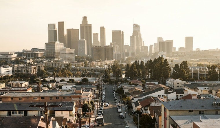
Downtown Los Angeles rolled into Friday morning, June 12, under a blanket of patchy fog and muggy air, with temperatures stalled in the mid-60s and visibility dropping along the coast. The marine layer is expected to thin through late morning, opening the door to mostly sunny skies and a high near 82°F this afternoon.
Foggy Mornings, Sunny Afternoons
Patchy fog is likely before 11 a.m., then most neighborhoods should clear into sunshine as light southwest winds tick up to around 0–10 mph. Inland areas are on track to warm into the low 80s while the shoreline hangs on to cooler temps. Drivers should be ready for brief stretches of reduced visibility during the morning commute, according to the National Weather Service Los Angeles/Oxnard.
Afternoon Winds And Commute
Sea breezes and a modest onshore push this afternoon will leave the western Antelope Valley a bit gustier than usual, though forecasters are not expecting advisory-level winds. If you are out the door early, build in some buffer time, since fog lingering near overpasses and coastal canyons can make surface streets slick and cut down sight lines.
Weekend Surf And Tides
A long-period southerly swell is set to arrive Saturday, and evening tides near 7.5 feet from Saturday through Tuesday could team up with that swell to bring elevated surf, sneaker waves and minor coastal flooding to south-facing beaches. Beachgoers and boaters should give jetties a wide berth and follow lifeguard instructions. You can check tide predictions from NOAA before heading out.
What To Pack
Plan on a light jacket for the gray, muggy mornings and schedule outdoor plans for the afternoon window, when skies should clear and temperatures climb. We will update this forecast if surf or tide conditions change over the weekend.


