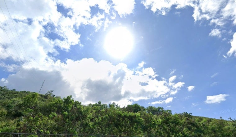
Honolulu is mostly clear this afternoon, with summer heat returning. Highs will top out near 87°F and overnight lows will hover around 76–77°F. Isolated, quick rain showers are possible after midday and again overnight, but most neighborhoods should see plenty of sun between brief downpours. If you are heading to any Juneteenth gatherings this Friday, expect warm, muggy conditions and the chance of a passing afternoon shower.
Spotty Showers Through Friday
A weak surface trough and a narrow plume of moisture will slide northwest across the islands through Friday, bringing a slight uptick in spotty showers, mainly after noon and overnight, with new rainfall amounts generally under a tenth of an inch. Leeward and interior spots are most likely to see afternoon sea breeze showers that clear at night, while windward and mauka areas should remain the shower focus once the trades return. Dew points will sit in the 70s, so outdoor plans will feel sticky; stay hydrated and build in breaks if you are doing heavier activity. According to NWS Honolulu, the trough will lift north and allow trade winds to build late this weekend into next week.
Trade Winds Return Next Week
Trade winds are expected to strengthen late this weekend and become more consistent early next week, with east-northeast winds in the 13–16 mph range and gusts potentially in the low-to-mid 20s by Monday through Wednesday. That pattern will push most showers back onto windward and mauka slopes and make exposed beaches choppier, so plan boat or beach time with that in mind. Commuters and outdoor workers should notice a fresher trade breeze later in the week and would be wise to secure anything that can blow around in the gusts.
Coastal And Marine Notes
Offshore, a series of southern-hemisphere swells is peaking today but is expected to decline through Friday. Deep-water observations show swell energy in the mid-teens of seconds and offshore swell heights around 4–6 feet. North and east shores will stay relatively small, while south-facing beaches may see elevated sets that generally remain below warning levels today. Boaters and beachgoers should check buoy reports and local lifeguard advisories before heading out. Data from the National Data Buoy Center (buoy 51004) show the swell periods and heights driving those conditions offshore.
Plan Ahead
If you have outdoor plans this Friday, bring water, a light rain layer, and a backup plan for afternoon events. Short, heavy downpours are possible but should be brief. Tie down beach gear and pay attention to lifeguard or harbor advisories before heading out. For more on the recent swell and tide timing, see our earlier Hoodline coverage on king tides and towering surf.


