Knoxville is waking up to a cloudy, muggy Monday with temperatures hovering near 75°F, and the atmosphere is already primed for trouble. Scattered showers and thunderstorms are expected to fire up and become most widespread between about 1 p.m. and 4 p.m. on Monday, June 22, 2026. Gusts could hit around 30 mph, and brief but intense downpours may trigger localized flooding on low-lying streets and slow the afternoon commute to a crawl.
What To Expect This Afternoon
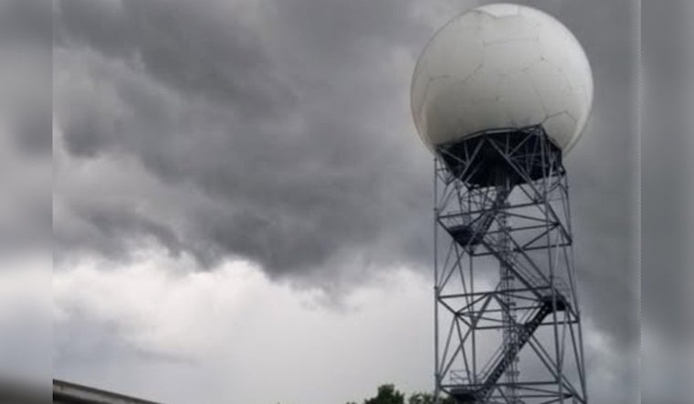
Storm coverage is expected to ramp up through the day. The National Weather Service in Morristown is calling for a high near 84°F with southwest winds of 10 to 15 mph and gusts up to around 30 mph. The agency puts the chance of showers and thunderstorms at roughly 80 to 90 percent across many neighborhoods this afternoon, with new rainfall amounts commonly landing between a quarter and a half inch and locally higher totals possible. Tonight, some pockets could see between a half and three-quarters of an inch. Because the column of air will be very moist, training storms and fast rainfall rates could trigger brief flash flooding in poor drainage spots, according to National Weather Service Morristown.
Timing And Impacts
The prime window for the heaviest and most widespread storms still centers on roughly 1 p.m. to 4 p.m., though a few spotty showers could sneak in by late morning and storms may redevelop into the evening and overnight hours. Short, intense downpours could quickly cut visibility and send water pooling into low areas, so if you see standing water on the road, do not drive through it. This tightens the timing compared with our earlier update in the earlier stormy smackdown alert and sharpens the hazard window for neighborhoods across the city.
Plan For The Week
The forecast turns friendlier after this round of storms. Drier, less humid air is expected to settle in on Tuesday and Wednesday, with highs in the low to mid 80s before daily storm chances creep back in late in the week and into the weekend. Outdoor plans look best on Tuesday and Wednesday, although by Thursday and Friday afternoon, storms are likely to be back to their usual routine, according to National Weather Service Morristown.
How To Prepare
Before storms bubble up, secure patio furniture and any loose outdoor gear, and build in extra time for your afternoon and evening drives. Avoid driving through flooded roads, head indoors if you hear thunder, and keep your phone charged for updates. Check radar or local alerts before heading out this afternoon, and consider postponing nonessential trips during the peak storm window.


