Knoxville and much of East Tennessee are staring down a First Alert Weather Day on Thursday as a cold front collides with a plume of tropical moisture sliding north. Forecasters say scattered showers and thunderstorms will fire up after lunchtime and could hang around into late evening, with the main troublemakers being heavy downpours and damaging wind gusts. Drivers should plan for sudden bursts of rain, reduced visibility, and gusty winds that could make the afternoon and evening commute a slog.
Meteorologist Sydney Sullivan issued the First Alert Weather Day and broke down the timeline: plenty of clouds and a few spotty morning showers, then more widespread scattered storms popping after noon and continuing through around midnight. Sullivan notes the late-afternoon and evening drive looks like prime time for any strong to severe storms, and that extra moisture streaming in from Tropical Storm Arthur could juice up heavier downpours and localized flooding, as reported by WVLT.
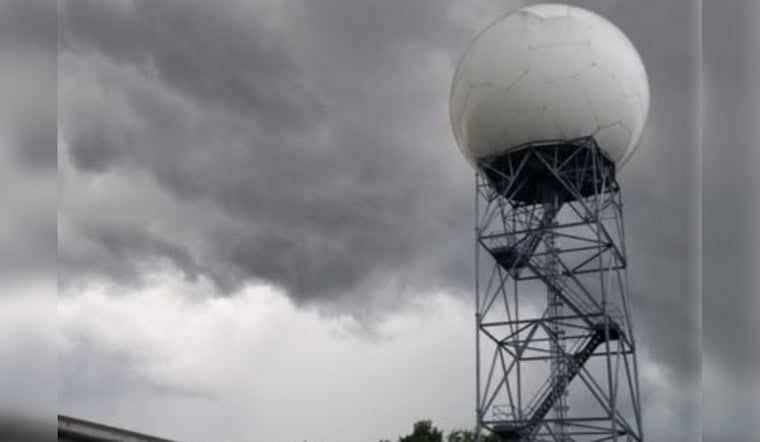
The National Weather Service office in Morristown is watching the same setup, pointing to humid air and southerly winds that favor quick-hitting tropical-style downpours and gusty conditions this afternoon and into the night. Forecasters there warn that isolated flash flooding and brief but damaging wind gusts are on the table where storms repeatedly track over the same area or briefly intensify, according to NWS Morristown.
Tropical Storm Arthur, the first named system of the Atlantic season, spun up in the Gulf this week. While it is expected to weaken over the Gulf Coast, it is still pumping extra moisture into the Southeast, helping to fuel those heavier downpours in our region. National coverage of Arthur’s formation and rainfall potential comes from WUSF/NPR.
Where The Threat Is Greatest
Not everyone will get slammed; storms will be scattered. That said, the western and northern parts of the Morristown forecast area have the best shot at stronger cells. Urban spots, low-lying neighborhoods, and areas with poor drainage face the highest flash-flood risk, and damaging wind gusts could knock down tree limbs and trigger brief power outages in heavily wooded neighborhoods, per NWS Morristown.
When It Will Let Up
Relief should begin to arrive on Friday, with humidity easing and thunderstorms becoming less numerous by midday. The weekend looks generally drier; a few passing showers could sneak through on Father’s Day, but it is not expected to be a total washout, as reported by WVLT.
How To Prepare
Bring in or secure outdoor furniture, charge up phones and devices, and avoid driving through flooded or low-lying streets. If you run into standing or moving water on the road, remember the mantra: “Turn Around, Don’t Drown” — turn around and find another route — and follow flood-safety tips on what to do before, during, and after flood conditions from the American Red Cross.
Keep a close eye on local radar and official updates through the afternoon and evening, and steer clear of flooded roadways. This story will be updated if any watches or warnings are issued.


