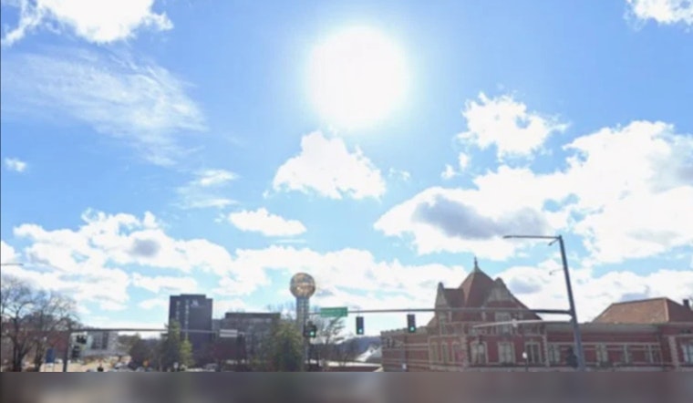
Sunday morning in Knoxville (June 21, 2026) is starting clear and mild, with the downtown KDKX station reporting about 63°F. Sunny skies are expected through the afternoon, and temperatures should climb into the upper 80s to around 90°F. It is shaping up to be the last dry, hot day before a storm system moves in. Humidity will creep up through the day, so even shady spots will feel stickier by late afternoon. If you have outdoor Father’s Day plans, today is your window, but plan for a very different setup by Monday.
Sunday: Last Hot, Dry Day
Look for light southwest breezes of about 0-5 mph and mostly sunny conditions into the afternoon, with highs near 90°F across the valley. Dew points will rise, making it feel warmer than the thermometer suggests, and tonight’s low should settle near 71°F under partly cloudy skies. Be extra careful with pets and young children during the hottest afternoon hours, and keep the water handy.
Storm Risk Monday
Showers and thunderstorms are likely late tonight into Monday, June 22, 2026, with the highest coverage of storms expected Monday afternoon into the evening. According to the NWS Morristown, storms could bring damaging wind gusts around 30 mph, locally heavy downpours, and a risk of brief flash flooding in stronger cells. Current guidance points to new rainfall totals of roughly a quarter to a half inch in many locations, with locally higher amounts possible. If you need to travel Monday afternoon or evening, build in extra time and be ready for sudden heavy rain and gusty winds.
Impacts And Preparedness
Plan for the possibility of travel delays Monday evening, as standing water on roads and reduced visibility are likely where downpours set up. Move outdoor gatherings indoors if you can, secure loose objects that could blow around, and make sure weather alerts are enabled on your phone. We flagged the broader threat in our earlier fog-to-fury forecast, and we will update when any watches or warnings are issued.
Rest Of The Week
Showers and scattered storms will hang around into Tuesday and at times later in the week, with highs generally in the low to mid 80s as slightly cooler air filters in. Wednesday and Thursday look drier and mostly sunny before rain chances return toward the weekend. Keep an eye on the NWS and local outlets for any updates on timing or intensity as the week plays out.


