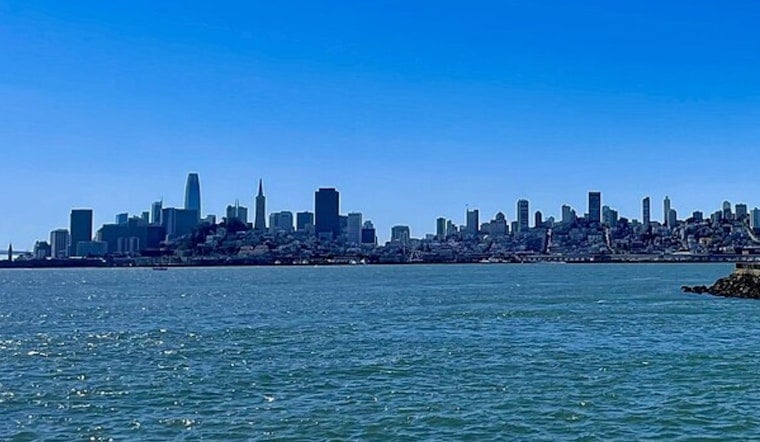
San Francisco started today under cool, mostly cloudy skies, around 56°F at dawn, but the real action is at the water’s edge. The National Weather Service has coastal advisories and a Beach Hazards Statement running through Thursday morning as a stronger south-southwest swell lines up with higher-than-normal tides. Inland, the day still looks pleasant, with afternoon highs near 69°F and a typical onshore breeze.
Afternoon Winds And Temperatures
By mid to late afternoon, the marine layer is expected to pull back toward the coast, leaving most neighborhoods under mostly sunny skies and a high near 69°F before a slight dip later in the day. West-southwest winds should increase to around 3 to 12 mph this afternoon and strengthen on Wednesday, with gusts into the low 20s around exposed headlands. Interior valleys will run considerably hotter, often reaching the 80s to low 90s.
Coastal Flooding And Beach Hazards
A Coastal Flood Advisory and Beach Hazards Statement remain in effect for San Francisco’s shoreline through Thursday morning, with the highest tides and strongest surf expected overnight. The San Francisco tidal gauge is forecast to reach about 1.7 feet above normal at 12:56 AM tomorrow and about 1.2 feet above normal at 1:51 AM Thursday, and up to roughly 1.7 feet of inundation is possible in low-lying bayshore areas. For the latest details and tide times, see the National Weather Service San Francisco.
Safety Advice
Officials are urging people to stay off jetties, piers and rocks, never turn their back to the ocean, and avoid swimming where lifeguards are not present, since sneaker waves and strong rip currents are the main threats. Anyone who lives or works in low-lying shoreside spots should expect brief ponding and move vehicles to higher ground if possible. Plan for extra time near the waterfront and do not drive around barricades or through standing water.
Earlier Coverage
The growing tide and sneaker-wave risk was first flagged on Sunday, and this update extends the window of concern into Thursday.


.jpg)