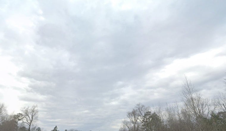
Raleigh woke up under a blanket of clouds and humidity this morning, with temperatures hovering near 73°F and dew points in the low 70s. By mid-afternoon, highs are set to jump into the low 90s, and it will feel closer to 100°F once you factor in the heat index. Scattered thunderstorms are expected to pop up later in the day and into the evening, and the stronger ones could deliver damaging gusts and heavy downpours. Forecasters are also eyeing a heat wave expected from Wednesday, July 1, through the July 4th weekend.
Afternoon Storms And Severe Risk
Storms are most likely to fire after about 3 PM, sliding east across the Triangle through the evening. Coverage should be scattered instead of a full-on washout, but any storm that does form could pack damaging straight-line winds of 50 to 70 mph, brief torrential rain, and small hail. Rainfall where storms track through will generally total a few tenths of an inch, with some heavier pockets possible. This setup puts central North Carolina under a slight risk for severe storms today and a marginal risk on Sunday, according to the National Weather Service Raleigh.
Tonight And Sunday
Showers and thunderstorms are likely late tonight, especially before about 4 AM, with lows near 72°F and new rainfall amounts of roughly a quarter to a half inch possible in the heavier storms. Sunday shapes up partly sunny with highs around 92°F and yet another chance for afternoon storms that could bring brief heavy rain and localized downpours. Outdoor plans are still on the table, but keep them flexible and keep an eye on the sky for quick-developing storms.
Heat Wave Outlook And What To Do
Forecast models point to a potentially dangerous heat wave starting Wednesday, July 1, and lasting through the July 4th weekend, with multiple days at or above 100°F and heat-index values topping 105°F across parts of central North Carolina. Overnight lows may struggle to drop below 80°F in urban neighborhoods, which means not much relief after sunset. If you do not have reliable air conditioning, the City of Raleigh maintains lists of cooling centers, libraries, and community spaces where you can escape the worst of the heat; check those options ahead of time via the City of Raleigh Beat the Heat page.
Plan Ahead
Expect steamy mornings that quickly turn into hot, sticky afternoons. Carry water, shift strenuous outdoor activities to early morning or evening, and keep a light rain jacket or umbrella handy for sudden downpours. Drivers should be ready for slick roads and brief drops in visibility when heavy rain rolls through, and build in a little extra travel time. Keep tabs on local forecasts and any airline or event alerts if you have travel or outdoor plans tonight and through the weekend.


