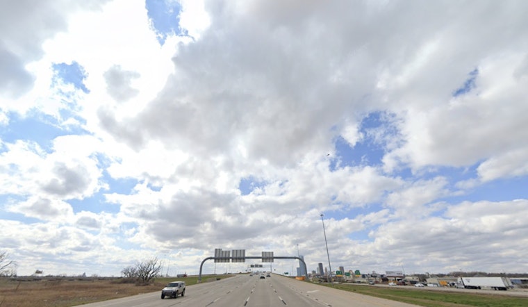
Oklahoma City woke up Friday, June 5, to a soupy mix of clouds, humidity and temps in the low 70s. The sun should muscle in by afternoon and send readings into the upper 80s, while south winds turn gusty enough to keep it feeling a bit breezy. A few spotty showers or brief storms could bubble up late in the day, so it is not a bad idea to keep an umbrella within reach for errands and outdoor plans.
Afternoon Storm Risk
After about 1 p.m., there is a slight chance of showers and thunderstorms, with a high near 89°F and south winds around 13 mph, gusting to about 20 mph. Most of the metro should stay dry through the afternoon, but any isolated downpour could briefly cut visibility and make roads slick. Widespread severe weather is not expected, although a stronger cell or two could kick out some gusty winds.
Weekend Rain And Flooding Concerns
Rain chances ramp up Friday night and stick around through the weekend as a slow-moving system approaches. Showers and thunderstorms are most likely Saturday and Saturday night, with coverage reaching roughly 70 to 90 percent in parts of the area. The National Weather Service in Norman notes that very moist air, with precipitable water values of 1.5 inches or higher and pockets over 2 inches, raises the risk that repeated rounds of storms could drop locally heavy rain. Brief flooding is possible if storms stall. A few storms could become strong to marginally severe Saturday into Sunday, especially well south of the metro, so it is worth keeping an eye on any event plans. Drivers should be alert for quick changes in visibility and standing water on low-lying roads.
Looking Ahead
Once the weekend system moves out, the pattern turns drier and hotter early next week. Highs climb into the low to mid 90s by Monday, June 8, with the potential for triple-digit readings later in the week. For context on the warm-up, see our recap of the warm OKC Thursday. If you are planning outdoor time next week, stay hydrated, keep up with updated forecasts and give yourself extra travel time during periods of peak heat or passing storms.


