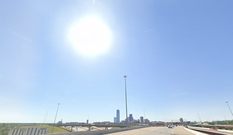
Clear skies and mid-60s greet Oklahoma City this Tuesday morning as the metro wakes up, the kind of start that makes it easy to forget what is coming. Expect a bright, mostly uneventful day with a high near 91°F and light south-southwest winds around 5 to 8 mph, with humidity sneaking up into the evening. Keep the water bottle close if you are outside for long periods, because the more dangerous heat arrives midweek.
Heat Peaks Wednesday With Triple-Digit Indexes
Wednesday is the day to circle in red on the calendar. Temperatures jump with highs near 98°F, and heat-index values are projected to climb into the low triple digits, around 105°F during the afternoon. According to the National Weather Service in Norman, a Heat Advisory is likely, and south-southwest winds could gust as high as 35 mph, making outdoor work tougher and turning loose patio items into potential projectiles. If you have outdoor plans, shift heavy activity to the morning and build in frequent breaks in shade or air conditioning.
Where To Cool Off And How To Prepare
Oklahoma City maintains a heat resource hub with a list of cooling centers, utility-assistance links and guidance for residents without reliable air conditioning; call 2-1-1 to get connected with local options. The City of Oklahoma City also highlights resources and protections for vulnerable residents during extreme heat. Hydrate with water, go easy on alcohol and salty foods before long stretches outside, and make a point to check on neighbors, pets and anyone who may need a hand getting to cooler spaces.
Storm Chances Increase Late This Week
As a front drifts back through the Plains, shower and thunderstorm chances climb from Thursday into Friday and around Juneteenth on Friday. Some storms could bring heavy rainfall and gusty winds. According to the National Weather Service in Norman, precipitation probabilities increase later in the week and may complicate outdoor holiday plans. Keep a weather app handy and be ready to head indoors quickly if storms fire up.
Bottom Line
Expect a hot, mostly sunny Tuesday, then an uncomfortable and potentially dangerous heat spike on Wednesday, followed by increasing rain and thunder chances late in the week. Keep tabs on local forecasts and cooling resources, and try to knock out strenuous outdoor activities during the cooler morning hours.


