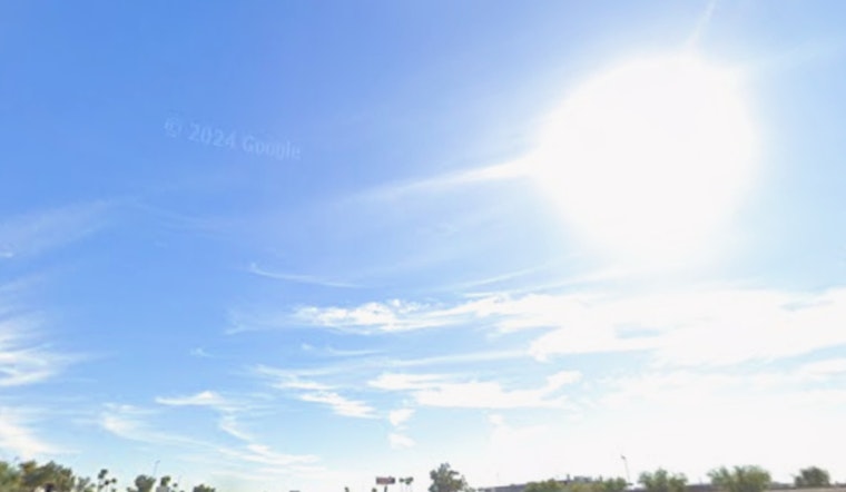
Phoenix is waking up hot, dry and already a bit edgy this Saturday, June 6, 2026. Early readings sit near 81°F, with relative humidity around 17% and light easterly breezes. By midafternoon, the high is expected to climb to about 106°F, with only modest relief overnight as temperatures slide back into the upper 70s.
Afternoon Winds Pick Up
The real trouble starts later in the day, when winds are forecast to ramp up. Across the Valley, gusts could reach 20 to 30 mph, with stronger bursts of 30 to 35 mph near the Lower Colorado River Valley and in higher terrain. A Red Flag Warning is in effect for Yuma and La Paz counties and portions of the Lower Colorado River Valley from 9 a.m. to 11 p.m. Saturday because of the combination of strong winds, very low humidity and elevated fire danger, according to the National Weather Service.
Where To Find Relief
The City of Phoenix operates seasonal heat-relief sites, including a 24/7 downtown respite center at 20 W. Jackson St., and can help with transportation to cooling centers if you call 2-1-1, according to the City of Phoenix. For more on the broader pattern behind this early-season blast, check out our earlier heat breakdown.
What To Expect This Week
The triple digits are not going anywhere fast. Through next week, afternoon highs are expected to hover between about 100 and 107°F, with overnight lows mostly in the mid to upper 70s. Breezy conditions should stick around too, especially over the Lower Colorado River Valley and higher terrain, where daily gusts will often top out around 25 to 30 mph, according to the National Weather Service.
Heat And Fire Safety
In this kind of heat, the basics matter: drink plenty of water, skip strenuous outdoor work during the midafternoon peak, and never leave pets or children in parked cars, even for a short errand. With the wind picking up, secure loose outdoor items, steer clear of any outdoor burning while Red Flag conditions are in place, and call 911 right away if you spot smoke or an active wildfire.


