Raleigh rolled into Monday, June 22, 2026, on the muggy side and is headed for a scorching afternoon, with a high near 99°F and heat-index values topping out around 104°F. Skies stay mostly sunny through much of the day, then a slight chance of showers and thunderstorms develops after 5 p.m., with showers and storms becoming more likely overnight.
Afternoon Storm Threat
The National Weather Service Raleigh is calling for a high near 99°F and heat-index readings up to about 104°F, and it has placed much of central North Carolina under a Slight Risk for severe storms. Scattered storms are expected to bubble up over the mountains and track east into the Triangle this evening, with the strongest storms favored across the northwest and northern Piedmont. Any storms that do form should be most likely between about 4–8 p.m., with the better chances after 5 p.m. Monday.
Heat And Safety
Heat will peak this afternoon, pushing it to feel like 100–104°F in many neighborhoods, a level that can raise the risk of heat illness for anyone working or exercising outside. The City of Raleigh and Wake County maintain lists of cooling options, including libraries, community centers and pools, and it is worth checking those pages for current hours before heading out. Stay on top of water, take frequent breaks if you have to be outdoors, and check in on elderly or otherwise vulnerable neighbors.
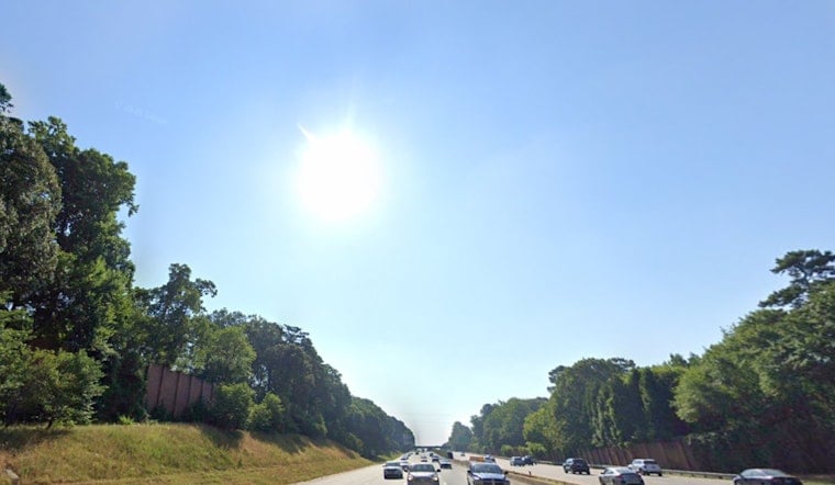
Evening Commute
South winds around 5 to 10 mph, with gusts up to about 18 mph, will add a bit of a blast-furnace feel this afternoon and can help storms push through more quickly. Any stronger cell could briefly unleash heavy rain or a gusty downburst that cuts visibility and slows traffic, so it is smart to build in a little extra time for the Monday evening drive.
Rest Of The Week
The warm pattern holds into Tuesday and Wednesday with highs in the low-to-mid 90s, and another very hot stretch is on the table later in the week and into next weekend. How widespread late-week storms become will depend on the exact timing of a passing frontal boundary, so if you have outdoor plans, keep an eye on forecast updates.
We dug into the broader heat buildup earlier this month, so see Raleigh set to sizzle for more on what this pattern means for local heat risk and community resources.


