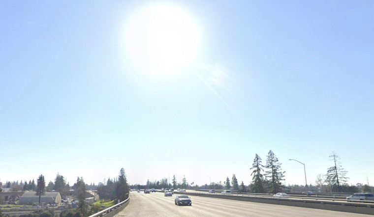
Sacramento is starting Tuesday on a relatively calm note, with partly cloudy skies and temps around 59°F at Sacramento Executive Airport. That quiet morning will not last. Sunshine and a warm afternoon high near 87°F are on tap, with only light west winds, before the weather cranks up dramatically midweek with gusty north winds and a fast climb into the upper 90s and then triple digits by Thursday.
The National Weather Service has upgraded a Fire Weather Watch to a Red Flag Warning for much of the Sacramento Valley, in effect from 11 a.m. Wednesday through 5 p.m. Thursday, citing gusty north–northwest winds and very low daytime humidity. Forecasters say daytime relative humidity could drop into the single digits to teens with limited overnight recovery, a combo that lets fires spread rapidly. North–northwest winds on Wednesday are expected to increase, with gusts into the 20s and occasional stronger bursts as the heat builds, according to the National Weather Service.
What To Expect This Week
Tuesday is the mild day in this stretch: sunny, a high near 87°F, light west winds, and lows tonight around 60°F. By Wednesday, things jump sharply, with highs near 97°F, north–northwest winds of 6 to 13 mph, gusts up to about 23 mph, and poor humidity recovery overnight. Thursday and Friday are the real scorchers, with the Valley forecast to see widespread triple‑digit highs near 101°F, hottest in inland spots and lower elevations.
How To Stay Safe
Shift outdoor plans to the morning or evening, keep water handy, and check on older neighbors or anyone without air conditioning. Put off spark‑producing work and outdoor burning while the Red Flag Warning is in effect, and tie down or move any loose patio furniture before the winds really start up. If you need cooling centers, call 2‑1‑1 for locations and hours, and report any smoke or unplanned fire to 9‑1‑1 right away.
This is an update to our June 8 coverage after forecasters upgraded the watch to a Red Flag Warning; read our earlier post on triple‑digit heat and fire fears for background. We will keep an eye on National Weather Service products and local fire agencies and update if conditions change.


