Saturday, June 27 came in on a cool and calm note for Sacramento, with temperatures near 58°F at Sacramento Executive Airport and clear skies overhead. Sunshine is set to rule the day, with the city topping out near 79°F while inland spots run a bit warmer. A south breeze will build through the morning, sending gustier winds toward the Delta and river corridors, and while the valley stays mostly dry, the mountains could see a few isolated showers.
Afternoon Gusts And Mountain Showers
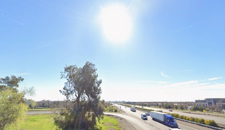
South to southwest winds are expected to ramp up from late morning into the early afternoon, with exposed valley and Delta corridors seeing gusts in the mid-to-upper 20s mph. Over the Sierra and southern Cascades, a few light showers and isolated thunderstorms may pop up, with thunder chances near 10% today and 15–20% on Saturday in some higher-elevation spots. Mountain rain totals could reach a few tenths of an inch in places. As the NWS forecast discussion notes, most valley locations should stay dry while the Delta and river channels deal with the brunt of the gusts.
Weekend Temperatures
The official forecast keeps Sacramento near 79°F on Saturday, warming to about 85°F on Sunday, June 28, and climbing into the upper 80s on Monday, June 29. By Tuesday, June 30, a cooling trend kicks in with breezy onshore flow, bringing slightly below-normal temperatures back to much of interior Northern California, according to the National Weather Service.
What To Know Before You Head Out
With those afternoon gusts, it is a good time to tie down lightweight outdoor gear and take a little extra care if you are cycling or driving high-profile vehicles on exposed bridges and roadways. Sacramento County has no watches or warnings in effect as of Saturday morning, June 27, but the forecast discussion highlights elevated fire weather concerns for Sunday and Monday in parts of the valley. If you are planning any outdoor burning or heading into the foothills, keep an eye on forecast updates before you go.


