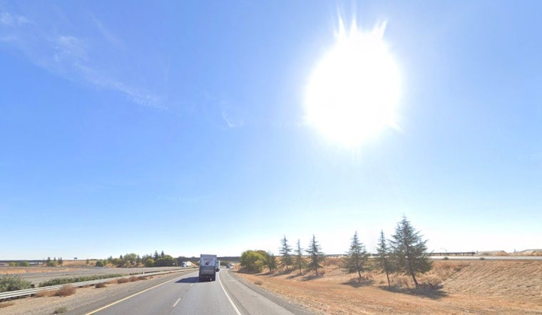
Clear skies over Sacramento this morning are just the calm before a serious midweek warmup. Temperatures are headed for a high near 97°F today, with the first triple-digit readings arriving Thursday, June 11. A Red Flag Warning is in effect from 11 a.m. Wednesday, June 10, to 5 p.m. Thursday, June 11, as north winds pick up and daytime humidity drops into the single digits to teens. On top of that, the National Weather Service has issued a Heat Advisory from 11 a.m. Thursday, June 11, through 11 p.m. Saturday, June 13, so it is a good time to reschedule heavy outdoor work and keep extra water within reach.
Dangerous Fire Weather Wednesday Through Thursday
Where stronger winds line up with very dry air, especially along and west of Interstate 5 and across the western foothills, north-northwest gusts could push into the 30s mph. That kind of wind quickly dries grasses and brush and raises the odds that any spark can turn into a fast-moving fire. According to NWS Sacramento, the Red Flag Warning covers large portions of the Sacramento Valley, and forecasters expect limited overnight humidity recovery, which means conditions stay primed for fire even after sunset. During the warning window, avoid outdoor burning, hold off on spark-producing projects, and give a wide buffer around any equipment that might throw embers.
High Heat And Where To Cool Off
Thursday, June 11, is set to be the hottest day, with highs near 101°F, and Friday and Saturday are expected to stay close to 100°F before a modest cooldown arrives Sunday. If you need somewhere air-conditioned to ride out the worst of it, you can call 2-1-1 or check 211 Sacramento for an updated list of activated cooling centers and heat-related resources. Drink plenty of water, move strenuous outdoor chores to early morning or evening, and keep an eye on older adults, infants and pets during the hottest part of the day.
What To Expect This Week
Today, Wednesday, June 10, stays sunny with a high near 97°F and northwest winds around 6 to 10 mph, with some afternoon gusts. Thursday, June 11, delivers the triple-digit peak along with the Heat Advisory, and overnight lows will be warmer than usual in many neighborhoods, often hanging in the upper 50s to low 70s, which limits overnight relief. Expect mostly clear nights and continued sunny days through Saturday, followed by a slight cooldown on Sunday. Stay tuned to local forecasts in case timing or details on the heat or fire weather shift later in the week.


