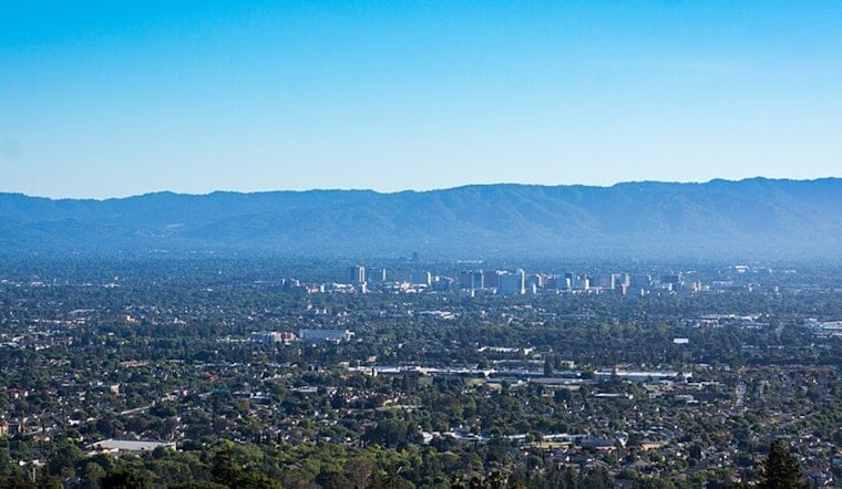
San Jose rolled in today under cool, crisp skies and mid-50s temperatures, a classic summer start for the South Bay. Inland neighborhoods are expected to climb into the low 80s this afternoon while the coast hangs back on the cool side. Breezes will crank up across the bay and valleys later in the day, and Pacific-facing beaches remain under a Beach Hazards Statement through tomorrow morning as a long-period southerly swell fuels sneaker waves and strong rip currents.
Afternoons: Sunny And Breezy
Highs around San Jose should top out near 83°F, with most nearby spots landing in the upper 70s to low 80s before easing off a few degrees by midweek. Light southwest winds in the morning are expected to strengthen in the afternoon, especially over exposed ridges and near the Golden Gate. Out on the water, gale warnings and Small Craft Advisories are still posted for parts of the outer coastal waters, according to the National Weather Service.
Coast: Sneaker Waves And Rip Currents
A long-period south swell is driving up wave run-up and rip current danger along Pacific-facing beaches through tomorrow morning, and recent rescues and fatalities in the region are a stark reminder of how fast conditions can shift. Officials urge beachgoers to stay well back from the surf line, steer clear of rocks and jetties, and skip swimming or surfing while advisories are posted - safety guidance highlighted in reporting from the San Francisco Chronicle.
Independence Day Outlook
Looking ahead to the Fourth of July, the current outlook calls for dry, sunny weather with highs in the low 80s on Saturday, July 4, leaving inland spots feeling comfortable while the coast stays cool. Beach hazards will still be worth keeping in mind if your holiday plans include the ocean, and travelers are urged to check for any updated advisories before heading out, per the National Weather Service.


.jpg)