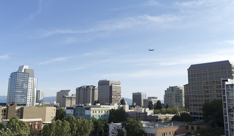
San Jose rolled out of bed today under a blanket of low clouds and cool air, with mid‑50s readings reported at Mineta. Along the coast and around Monterey Bay, a patchy to at times dense marine layer is hanging on, keeping fog and low clouds in place through mid‑morning. Inland neighborhoods, though, are expected to shake it off and warm to sunshine with a high near 84°F this afternoon.
Foggy Mornings, Sunny Afternoons
A Dense Fog Advisory is still posted for parts of the Monterey Bay area into the morning, and that marine layer may creep into low‑lying South Bay corridors and creek valleys, cutting visibility and slowing the early commute. Skies should gradually open up through late morning, with inland spots climbing into the low‑ to mid‑80s. For the official breakdown and any updates, check the National Weather Service.
Afternoon Warmth and Gusty Wednesday
Inland neighborhoods are on track to top out near 84°F, while bayside and coastal locations stay noticeably cooler under the influence of that marine layer. Northwest winds are expected to pick up this afternoon and tomorrow, with gusts possible over exposed hills and bridge corridors. Offshore, the marine forecast calls for building seas and small‑craft or gale potential later this week as a trough moves in and helps cool the region heading into the weekend.
What This Means For Your Commute
If your morning drive takes you through low‑lying areas, bank on extra time where the fog settles in and stick with low beams when visibility drops. Travelers flying today should confirm schedules with their airline and check the San José Mineta International Airport for real‑time flight status before heading out.
Looking Ahead
Temperatures hold fairly steady through midweek, then slip about 5–10°F for the weekend, dropping highs to the mid‑70s by Saturday and lows to the low‑50s overnight. Coastal fog and a bit of stray drizzle could continue to make cameo appearances overnight and into the early‑morning hours through the weekend.


