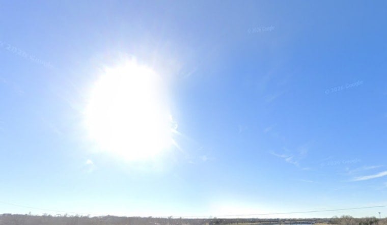
Oklahoma City is in for a scorcher Sunday, June 21, 2026. The day started with clear skies, temperatures in the mid‑70s, and a steady south wind, but a Heat Advisory this afternoon will push heat‑index values into the triple digits before storms roll in later and threaten heavy rain and damaging winds overnight.
Afternoon Heat And Gusty Winds
Highs this afternoon are expected to top out near 94°F, with south‑southwest winds of 16–20 mph and gusts up to about 30 mph, which will make it feel even hotter than the thermometer suggests. According to NWS Norman, a Heat Advisory is in effect from 1 p.m. to 8 p.m. CDT, and forecasters warn that heat‑index values could climb into the mid‑100s. Residents are urged to take frequent water breaks, limit strenuous outdoor work during the advisory window, and seek out air‑conditioned spaces whenever possible.
Evening Storm Threat
Storm chances ramp up after sundown. A chance of showers and thunderstorms begins around 7 p.m., with showers and storms likely overnight, and forecasters say some cells could turn strong to severe. The forecast discussion notes risks for large hail, damaging straight‑line winds, and training storms that may drop brief but heavy downpours capable of producing localized flooding. If you have evening travel plans, keep an eye on radar and be ready to move indoors quickly if storms develop nearby.
Where To Cool Off And What To Do
If you need a break from the heat, OG&E publishes a list of seasonal "Cool Zones," air‑conditioned public spaces such as libraries and community centers that are available across the metro. Check the OG&E list for local locations and hours before heading out. You can also call 211 for referrals to local services if you or someone you know needs help staying safe in the heat.
Our Coverage
This update follows our earlier coverage of the recent hot and windy pattern; for background on the setup and previous advisories, see OKC sizzles under heat advisory. We will keep tracking changes through the evening, and if the severe threat materializes, watches or warnings could be issued with little lead time.
Looking Ahead
Monday is expected to be a touch cooler where a front makes progress, with highs mainly in the mid‑80s and lingering chances for showers or thunderstorms into the day. Check local forecasts before heading out, keep water handy, and have a plan to get indoors during the afternoon and evening.


