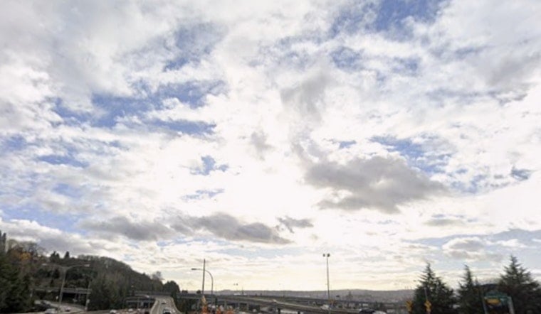
Seattle woke up under a low, gray blanket Wednesday, June 10, 2026, with Boeing Field reporting cloudy skies and about 52°F at 5:35 a.m. PDT and light south-southwest breezes. A few predawn sprinkles were in the mix, but showers are expected to fade with a trend toward drier weather into the afternoon. Look for a high near 65°F with light southerly winds and a cool overnight low around 50°F.
Daytime Outlook
Clouds should gradually crack open for more sunshine through the afternoon, especially away from the water, while shoreline neighborhoods stay a bit cooler. As high pressure starts to build, winds will flip to a northerly direction later in the day, keeping conditions mild and comfortable for errands, dog walks or a quick park break. The odds of measurable daytime rain are low, so both commutes should stay mostly dry.
Weekend Heat And Records
Temperatures ramp up quickly later this week: highs climb into the low 70s Thursday and Friday, then mid-70s on Saturday before a sharp warm-up Sunday into Monday, when inland neighborhoods could push into the upper 80s to low 90s. According to the National Weather Service Seattle, record highs are likely Sunday and very likely Monday as a strong upper-level ridge builds over the region. Expect hotter afternoons and less cooling at night starting Sunday, especially away from the immediate shoreline.
Heat Safety And Cooling Options
With that big temperature swing on the way, the City of Seattle is urging people to ease up on strenuous outdoor activity during the hottest part of the day and to make use of cooling spaces and AC-equipped libraries. Check the City of Seattle for lists of cooling centers, hydration tips and outreach resources. If you or someone you know does not have home cooling, call 211 or look into nearby community centers for daytime relief.
Boaters And Waterfronts
Mariners should be aware that Small Craft Advisories have been in effect for parts of the Strait of Juan de Fuca, with gusty winds and choppy seas creating rough conditions on exposed routes through mid-afternoon. Water temperatures remain cold, with Lake Washington and Lake Sammamish sitting at about 62°F, so an unplanned plunge will feel icy even on a hot day. If you are heading out, check the latest marine forecasts and wear a life jacket.
Looking Ahead
High pressure should begin to weaken later next week, and there is a chance of a marine push that could bring temperatures down if it moves inland on Tuesday. For now, plan Sunday and Monday outdoor events with heat in mind and keep an eye on updated forecasts as the weekend approaches.


