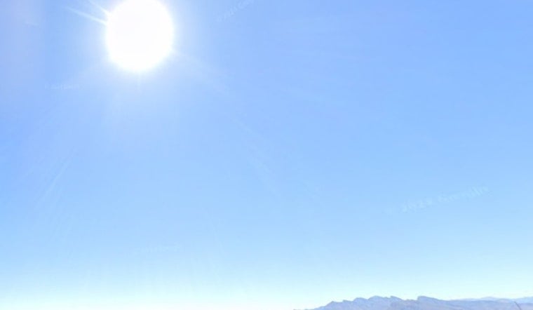
Las Vegas is baking again on Tuesday, with the valley heading for a brutal high near 110°F and only meager overnight relief as temperatures hang in the mid to upper 80s. It will be a hot, dry grind through the day, especially in full sun or for anyone without solid air conditioning.
Afternoon Heat, Then Storms Late
Skies stay sunny and the heat cranks through the afternoon, with south-southeast winds around 2 to 16 mph and gusts up to 24 mph. Late tonight into Wednesday morning, forecasters say there is a chance of isolated to scattered showers and thunderstorms, mainly along and southeast of I-15. Any cells that do fire could bring erratic outflow gusts, brief downpours and dry lightning, according to the National Weather Service Las Vegas.
Where To Cool Off
To help people ride out the heat, Clark County has opened daytime cooling stations across the valley, using libraries and community centers as air-conditioned safe havens for residents without reliable cooling at home. You can find locations, hours and any special schedules on the Clark County cooling stations page or by calling 2-1-1.
Late-Week Wind And Fire Risk
A stronger system sliding in later this week is expected to kick up southwest winds again Friday into the weekend, with widespread gusts likely in the 25 to 45 mph range. At the same time, afternoon humidity is projected to drop into the single digits to teens, conditions that translate to elevated fire danger. Officials caution that dry lightning from any mid-week storms, combined with very dry fuels across the region, could make new fire starts tough to contain.
Quick safety reminders: if you have to be outside, schedule heavy work for early morning, drink plenty of water and check on older neighbors or anyone without air conditioning. Drivers should be ready for gusty crosswinds, never leave children or pets in parked cars, and seek medical care right away if someone shows signs of heat exhaustion.


