Central Florida forecasters are keeping a close eye on the Gulf, where a weak area of low pressure could try to creep north next week. Even if it stays messy and poorly organized, the system could still dump heavy downpours, kick up gusty winds, and churn up higher surf along Florida's coasts. Rip current conditions are already on the board along parts of the Atlantic shoreline, a heads up for beachgoers and lifeguards as meteorologists watch how the forecast models evolve.
What forecasters are watching
The FOX 35 Storm Team is tracking a broad, weak area of low pressure in the central Gulf that some longer-range model runs hint could try to organize by next week, although the station notes that current conditions are expected to keep tropical activity limited, according to FOX 35 Orlando. A handful of extended model ensembles are showing a similar signal, a disorganized swirl near the north central Gulf that might funnel rounds of tropical moisture toward the Sunshine State, per reporting by KBTX. Local meteorologists are quick to remind viewers that week two model guidance is notoriously fickle and often shifts as new runs come in.
Official outlook and the science
The National Hurricane Center's early season Tropical Weather Outlook on June 1 stated that tropical cyclone formation was not expected during the next seven days, and its products are updated frequently as conditions change, according to the National Hurricane Center. Forecasters point out that Gulf sea surface temperatures are already running warmer than average, which provides fuel for storms, but Saharan dust and upper-level wind shear are still acting as brakes on early season development, per analysis from Weather.com. That tug of war between unusually warm water and hostile air masses is a big reason meteorologists say anything that forms right now would most likely be short lived and poorly organized.
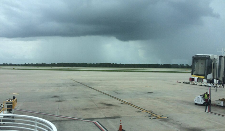
Local impacts: rain, surf and rip currents
Even a sloppy Gulf disturbance can sling heavy rainbands onshore, trigger localized flooding and push up surf along both coasts of Florida. National Weather Service offices have already issued rip current statements for wide stretches of the east central and northeast coast, including Coastal Volusia and several Flagler County zones, as outlined in advisories from NWS Melbourne and NWS Jacksonville. Local coverage notes that June's most favorable early season formation zones include the Gulf, where any disturbance has a better shot at spinning up than systems farther out over the open Atlantic, according to BayNews9.
How to prepare
Even if this particular setup never becomes more than a rainmaker, now is a smart time to dust off the family hurricane plan and double check emergency kits. Keep an eye on updates from the National Hurricane Center and your local National Weather Service office, and follow lifeguard instructions and beach flag warnings while the surf is rough. Expect more clarity as model guidance tightens and if or when the National Hurricane Center issues new products.


