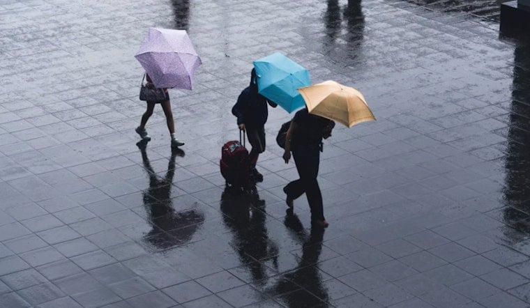
Houston woke up early Saturday, June 6, 2026, to thick, muggy air, with temperatures sitting near 77°F and dew points in the mid 70s. The atmosphere is loaded and ready for more sudden, heavy downpours. Scattered to numerous showers and thunderstorms are expected through the afternoon, and any repeated or slow moving storms could drop several inches of rain in a short time. If your day involves driving or outdoor events, build in extra time and have a dry backup plan ready.
What To Expect Today
Showers and storms are expected to increase from the coast into the metro area late this morning and become most widespread from late morning into the afternoon, with a high near 86°F and high rain chances across the region. The Weather Prediction Center and local forecasters note a slight risk of excessive rainfall for parts of Southeast Texas, and stronger cells could produce rainfall rates of 3 to 4 inches per hour with localized totals of 3 to 4 or more inches, according to the National Weather Service. Expect brief but intense downpours that can quickly cut visibility and bring traffic to a crawl.
Where Flooding Is Most Likely
Forecasters highlight the I 10 corridor and areas south of I 10 as having the highest chance for localized flooding, since soils are still saturated from earlier rain. Urban streets, low lying neighborhoods and smaller bayous can see quick runoff and short duration rises, and the National Weather Service is monitoring several river basins for isolated rises into action stage if heavy cores sit over the same area. If you know a low lying route in your neighborhood that floods quickly, treat it as off limits while storms are in the area.
Beaches, Boats And Commutes
Onshore flow will increase winds and seas, creating a high rip current risk for Gulf beaches through at least Sunday morning and prompting small craft caution in nearshore waters. Boaters and beachgoers should be ready for gusty southeast winds and choppy conditions, and lifeguards may post red flags. For drivers, heavy downpours can rapidly reduce visibility and create standing water, so slow down and leave extra room to stop.
Quick Safety Tips
Never drive through flooded streets, since even shallow water can stall or sweep vehicles, and keep a phone, weather app or NOAA alert method close for sudden warnings. If you have outdoor plans this afternoon, move them indoors or reschedule, and check the National Weather Service for updates as conditions change.


