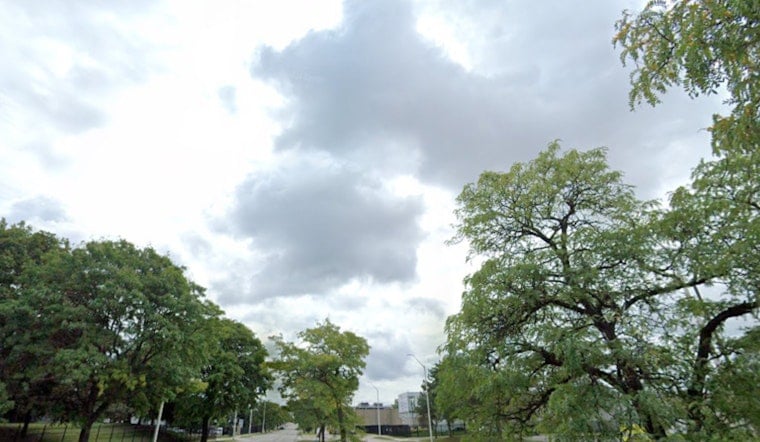
Portland woke up to a gray, cool start on Saturday, June 27, with temperatures near 55°F at Portland International Airport and spotty showers already sneaking across the metro. The appetizer showers are here, but the main course arrives later in the day, when rain ramps up, some cells turn heavy, and a few isolated thunderstorms try to get going. The wettest stretch looks to be from late morning through late afternoon, with quick-hitting downpours that could leave water pooled on low-lying streets and cut visibility in a hurry. Anyone commuting or planning to be outside should bank on slower travel and rapidly changing conditions.
Afternoon Downpours And Thunder
Showers will build through the morning and spread out across most of the metro this afternoon, with the widest coverage and heaviest bursts expected roughly between 11 a.m. and 5 p.m. The forecast high for Portland is near 66°F, and the most intense cells could drop a quarter of an inch of rain or more in an hour, which is enough to trigger brief urban flooding and increase the risk of hydroplaning. There is a modest chance of isolated thunderstorms over inland areas. Because some cells will move slowly, any neighborhood that ends up under one of the heavier cores could stay soggy for a while. According to the National Weather Service Portland, heavy downpours are possible this afternoon and a Small Craft Advisory remains in effect for portions of the coastal waters into Sunday.
Timing And Local Differences
Along the coast, conditions will run cooler with a lower chance for lightning, but steadier showers and choppy seas are on the table. The Cascades and foothills are more likely to see higher rainfall totals than the lowlands. Showers gradually lose coverage and intensity Saturday night, and Sunday looks milder with only a slight chance of light showers lingering. Daytime highs stay on the cool side for late June, generally in the mid 60s across the lowlands. If you are heading out this afternoon, a rain jacket and some extra buffer time are smart bets.
Boaters And The Coast
Offshore, seas will be steeper and winds gusty enough to make conditions hazardous for smaller vessels. While the Small Craft Advisory is in effect, small boats are better off staying closer to shore instead of venturing far out. This update adds detail to the earlier outlook that flagged the pattern shift, so check out the sunny streak gets soaked preview for Friday’s setup. If you have to be on the water, review the latest marine forecasts first and secure loose gear before you leave the dock.
Plan For The Afternoon Commute
Drivers should expect slower going during the afternoon peak, as heavier showers briefly knock down visibility and create standing water in the usual low spots. Take it easy on the accelerator, leave extra following distance, and skip any attempt to drive through flooded stretches of road. Boaters should heed the marine advisories and think seriously about delaying trips until conditions improve. For updated details and any new advisories, check the National Weather Service Portland page before you head out.


