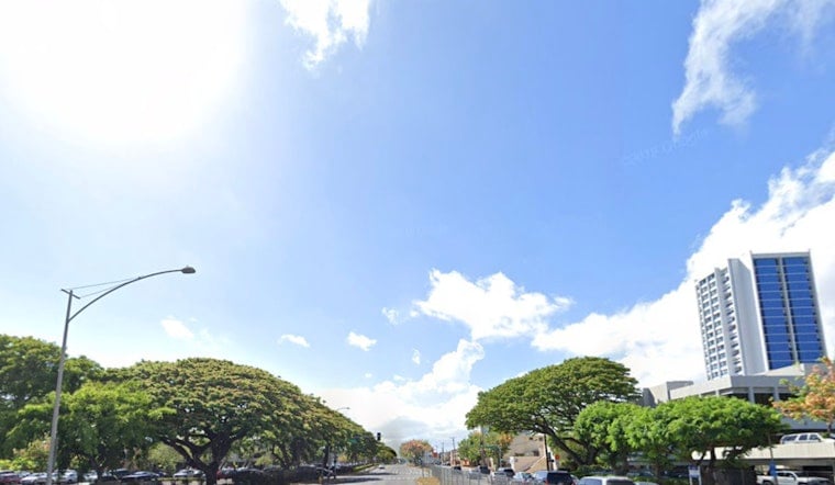
Friday, June 12 - Honolulu is waking up to mostly clear skies and temperatures in the low 70s, with afternoons expected to warm into the mid 80s. Gentle northeast trade winds will keep most neighborhoods dry and bright, although there is still a slight chance of isolated rain showers before noon and over some interior spots. If you are trying to time your outdoor plans, afternoons look like the sweet spot for beach time and errands.
South Swell And Coastal Impacts
A large, long period swell originating southeast of New Zealand will start lifting south facing surf Saturday and is expected to peak Sunday into Monday, approaching warning levels at some beaches but most likely staying in the advisory range. The National Weather Service notes that the swell will overlap with peak monthly tides early next week, increasing the risk of wave runup and minor coastal flooding during the highest tides. Beachgoers and coastal residents should plan around those high tide windows.
Afternoon Sun With A Slight Chance Of Showers
Daytime highs are expected to reach near 85°F with mostly sunny afternoons, while quick, isolated showers remain possible mainly before noon and in windward or mauka neighborhoods. Gentle northeast winds around 7 to 13 mph are forecast today, with a return to moderate trades early next week that could bring more frequent windward showers. For more background on timing and what to watch this weekend, see our earlier coverage on the big south swell lining up.
Plan Ahead For Beach And Coastal Parking
South shore surf will be highest Sunday and Monday (June 14 to 15), and lifeguards may close beaches or post warnings if conditions reach advisory or warning thresholds. Small harbor surges are also possible during peak tides. It is a good idea to move vehicles and valuables out of low lying coastal parking areas ahead of those high tides, and mariners should check with local harbormasters before heading out. Keep an eye on updated forecasts from the NWS Honolulu surf forecast over the weekend.
Looking Ahead
Gentle trades should hold through Saturday with drier than normal conditions, then moderate trades return early next week and bring back more typical windward and mauka showers. A weak surface trough and a developing low to the north may weaken and bend the trade flow later next week, leading to slightly warmer, more humid afternoons and a few stray sea breeze showers across leeward areas. We will update readers if any advisories are issued before the swell peaks.


