Dense, patchy fog is smothering Boston early today, with Logan Airport stuck in low visibility and temperatures parked in the low 60s. The fog should lift by mid-morning, giving way to partly sunny skies and a high near 73°F. East winds will stay light, around 1 to 9 mph, so look for a slow, steady improvement through the afternoon rather than an instant flip of the switch.
Morning Commute And Waterways
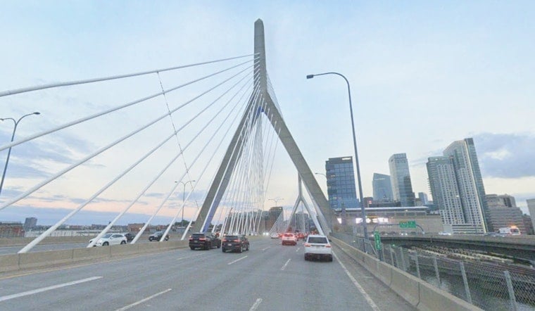
Drivers heading out early should be ready for low visibility on major routes and near the airport, and travelers may see some delays until conditions improve. Ferries and harbor traffic could run slower than usual while the marine layer hangs on. According to NWS Boston, airport terminals may see IFR conditions early in the day, with most sites returning to VFR by the afternoon, so it is a good idea to allow extra time for morning trips and check flight status. Small craft operators can expect 2 to 3 foot seas this morning, along with limited visibility.
Heat Builds Midweek
Once today’s gray start clears the stage, the real headline becomes the heat. Temperatures jump quickly: Tuesday is forecast to top out near 84°F, Wednesday around 90°F, and Thursday could push into the mid 90s, with Friday hanging on in the low 90s. Overnight lows are expected to stay in the 60s to low 70s through the middle of the week, which means little nighttime relief during the hottest stretch. With higher humidity in the mix, heat indices could reach the triple digits in some inland and urban neighborhoods, so plan outdoor time with that in mind.
How To Stay Safe
The city activates cooling resources during periods of extreme heat, so residents should check cooling-center listings and heat guidance at Boston.gov before heading out. Hydration is key: drink plenty of water, avoid heavy exertion during the midafternoon peak, and keep an eye on vulnerable neighbors, children and pets. Employers and event organizers are encouraged to shift strenuous activities to the cooler morning or evening hours when possible.
Storm Chances Later This Week
There is a chance of showers and a few thunderstorms Tuesday night into early Wednesday, with the best opportunity for brief storms Tuesday night. The risk for storms dips while the heat peaks in the middle of the week, then ramps back up toward the weekend, including a chance of showers and thunderstorms on Independence Day afternoon. If you have outdoor plans late in the week, keep an eye on updated forecasts and have both a rain backup and a heat plan, especially for long daytime events.
Bottom Line
Patchy fog will slow the start of the day, then Boston heads for a partly sunny high near 73°F. The bigger story is the warming trend from Wednesday through Friday, with the potential for dangerous heat. Check up-to-date forecasts from NWS and city cooling resources as the week evolves. Updates will follow if any advisories are issued.


