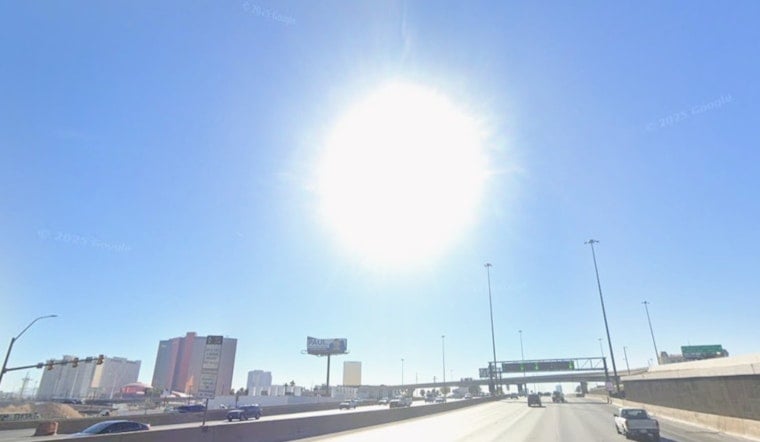
Las Vegas started Saturday, June 27, 2026, under clear blue skies and a mild 79°F, but the calm did not last long. Forecasters are calling for a hot afternoon high near 98°F, gusty southwest winds, and pockets of blowing dust, with a Wind Advisory holding steady through 5:00 AM PDT Sunday, June 28.
Afternoon Winds And Fire Risks
Southwest winds are expected to ramp up through the afternoon, with sustained speeds mostly in the teens and 20s and gusts frequently in the 30 to 40 mph range, with a few spots potentially pushing up to 50 mph. The National Weather Service has posted a Wind Advisory through 5:00 AM PDT Sunday, June 28, along with a Red Flag Warning for parts of the region through 11:00 PM PDT Saturday, June 27, citing very low humidity and dry fuels. That combo increases the risk of rapid fire spread and sets the stage for patchy blowing dust that can cut visibility and turn driving into a white-knuckle experience.
Where This Affects You
Forecasters say the patchy blowing dust will be most likely near dry lakebeds, washes, and open desert in the afternoon and again overnight, with the strongest gusts across the Mojave and the valley’s more exposed highways. Small craft and recreational boaters on Lake Mead will face hazardous conditions during the windiest stretches, and high-profile vehicles should take extra care on I-15 and other open corridors. To help people get a break from the heat, Clark County has daytime cooling stations open through June 28; check Clark County for locations and hours.
Plan Ahead
Residents are urged to secure loose outdoor furniture, hold off on nonessential boating or debris burning, and build in extra travel time if routes take you across exposed roads. Keep pets and vulnerable family members out of the midday heat, and bring water for any outdoor work. Monitor updated forecasts and alerts before heading out, and report hazards like downed branches or stretches of road where dust sharply reduces visibility to local authorities.


