Main Street in Milford had a rough Friday, as a section of State Route 28 collapsed after water damage undermined the pavement, forcing an immediate shutdown of the busy corridor. The city closed the stretch between Mohawk Trail and Kirgan Drive, set up detours, and brought in crews to secure the scene and assess how badly the roadway was compromised. Officials said repairs could take several days while engineers map out how to stabilize the undermined section.
According to WKRC Local12, the City of Milford posted on its Facebook page that water damage caused the collapse and that crews plan to begin repairs as soon as it is safe to do so. Local12 reports that city leaders expect the closure to remain in place for several days while the work gets underway.
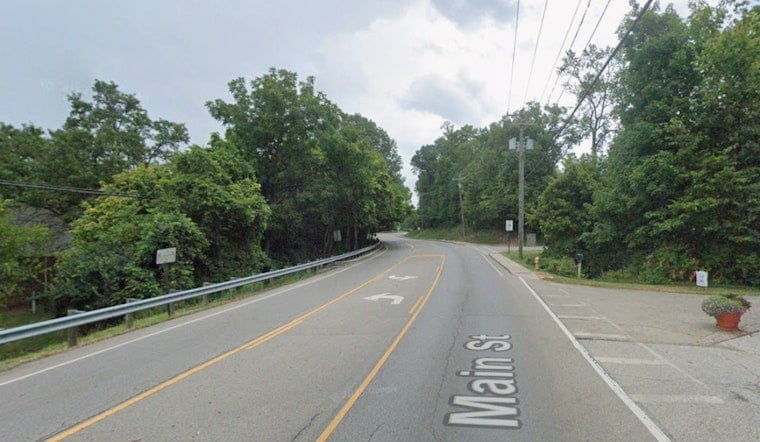
Where the collapse happened
Main Street, signed as SR 28 through Old Milford, runs along the Little Miami River and crosses the waterway near Jim Terrell Park, putting the downtown strip close to riverbanks and parklands. The Little Miami River page documents the SR 28 river crossing and nearby river access points in Milford. In recent weeks, regional forecast products from the National Weather Service have included flood watches and heavy-rain advisories, conditions that can increase the risk of scour and washouts where water attacks the base of a roadway.
Traffic and repairs
The closed stretch is a key downtown link, so drivers should expect detours that route traffic around Old Milford while crews are on site. The city said workers will begin repairs as soon as conditions allow and that the closure is likely to last several days. For official lane-closure maps and status updates, see the Clermont County Engineer's office.
Officials are urging residents and commuters to keep an eye on the city's social channels for real-time notices and to consult the county road-closure map for detour information. This story will be updated as new details are released.


