

























































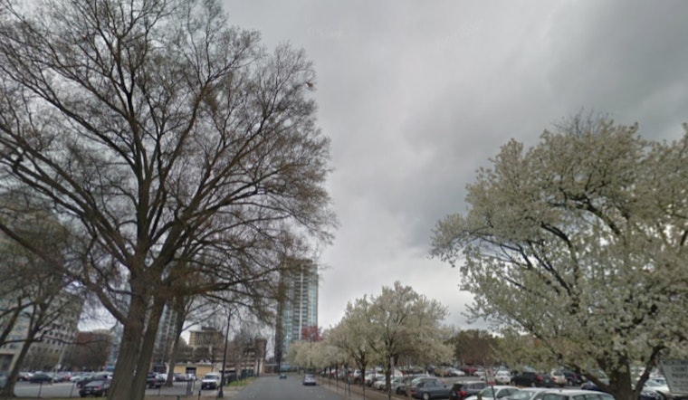
Tuesday morning, July 28, 2026, is starting off warm and soupy in Washington, D.C., with clear skies and mid‑70s readings at Reagan National Airport. The commute in looks fine for now and roads are dry, but the sticky air is a hint of what is coming this afternoon, when strong to severe storms are expected to fire up.
Afternoon Storms And Timing
Showers and thunderstorms are forecast to build across the region this afternoon, with the main action window running from about 2 p.m. to 8 p.m. on Tuesday. Any storms that pop could bring torrential downpours and gusty winds. A Flood Watch is up for parts of northeast Maryland, where the heaviest storms could drop roughly three‑quarters of an inch to around an inch of rain in a short burst. Drivers should be ready for sudden heavy rain and quick hits of low visibility on area roads, according to the National Weather Service.
Severe Risk
The area is sitting under a "slight" risk for severe thunderstorms, which means organized clusters are possible that can produce damaging wind gusts. A brief tornado or a shot of large hail cannot be ruled out in the strongest cells. These storms will move quickly, but where they pass over the same neighborhoods more than once, localized flooding can still develop, per the Storm Prediction Center.
Flooding And Tides
Where storms stall or train, quick totals of about a half‑inch to an inch of rain are likely, and urban flash flooding is the main concern. Low‑lying streets, underpasses and basements along the I‑95 corridor are especially vulnerable to rapid runoff. Out on the water, a combination of southerly winds and an already elevated tide cycle may push Annapolis to minor flood stage around the morning high tide and again late tonight. Mariners on the Chesapeake should be ready for Small Craft Advisories and rough conditions, according to the National Weather Service.
Boating, Commute And Safety
With sudden squalls and choppy waves in the forecast, today is not the day for a casual bay cruise. Boaters are urged to hold off on nonessential trips and tie down anything that is not already lashed in place. On land, expect heavy downpours, frequent lightning and gusty winds that can snap branches and trigger spotty power outages. Do not try to drive through flooded roads, and move indoors as soon as you hear thunder, even if the sky looks only "a little" dark. We first flagged this brewing pattern in our July 26 weather roundup.
Rest Of The Week
After today’s chaos, high pressure is set to build in on Wednesday and Thursday. That will bring slightly cooler and drier air, with highs settling in near the mid‑80s and only a lower chance of passing showers heading into the weekend. Keep phones charged in case of outages, and double‑check tonight’s local forecasts if you are trying to squeeze in outdoor plans between storms.



