

























































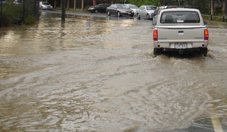
Riviera Bay neighbors say they are tired of watching high tides and heavy rains turn their streets into temporary canals, and now the federal government is stepping in to help figure out why it keeps happening.
Federal engineers from the U.S. Army Corps of Engineers are teaming up with the City of St. Petersburg to study chronic flooding in the low-lying waterfront neighborhood, residents say. Neighbors describe bay water regularly pushing across yards and into streets while drainage canals fill with sand and aging seawalls crack and crumble.
The city recently requested, and received, approval to work with the Corps on a neighborhood study that will map problem canals and recommend fixes. As reported by Tampa Bay 28, the study will identify which canals should be dredged along with other strategies to cut down on routine flooding.
Residents Say Canals And Seawalls Are Failing
Longtime homeowners in Riviera Bay told reporters they have watched the neighborhood’s drainage canals slowly lose depth while seawalls develop cracks and holes. That combination, they say, leaves less room for stormwater when the tides and clouds team up.
"It's impacting people's ability to get into their own driveway," resident Peter Nolan said. Neighborhood association president Vanessa Pugliese told reporters one canal near 85th Avenue North has lost roughly eight feet of depth to sand and sediment, leaving little capacity for stormwater during high tides and heavy rain. Tampa Bay 28 reported those accounts.
What The Corps Can Bring
The Army Corps' Jacksonville District conducts hydrographic surveys and coastal engineering work across Tampa Bay, tools the city can use to pinpoint where canals have shoaled in and where navigation or drainage problems are building up before any dredge or repair work starts.
U.S. Army Corps of Engineers survey and navigation documents for the St. Petersburg area show the kind of detailed mapping that typically comes before dredging and permits for in-water work. Those technical steps shape the scope of any project and guide environmental review, so the Riviera Bay study is essentially the homework phase before anyone starts moving mud or rebuilding seawalls.
How This Fits Into City Planning
The Riviera Bay review is part of a broader neighborhood-level resilience push the city has been running with residents and regional partners. The City’s Pete Neighborhoods pilot and related outreach have already flagged Riviera Bay for focused study.
A resident task force that toured Shore Acres and Riviera Bay last year recommended topographical mapping and targeted maintenance, including dredging, as potential tools, according to the city, city planning materials and reporting from Bay News 9.
Next Steps And The Timeline
City officials and Corps engineers have not released a firm timetable for the Riviera Bay study, and residents say they want dredging or seawall repairs to follow as quickly as possible.
Local data and reporting show Riviera Bay has faced repeated tidal and storm-surge flooding in recent seasons, a pattern neighbors say only heightens the urgency for action. The Tampa Bay Water Atlas and neighborhood planning materials document that history and the area’s flood risk, which is exactly what the new joint study is expected to confront head-on.





