

























































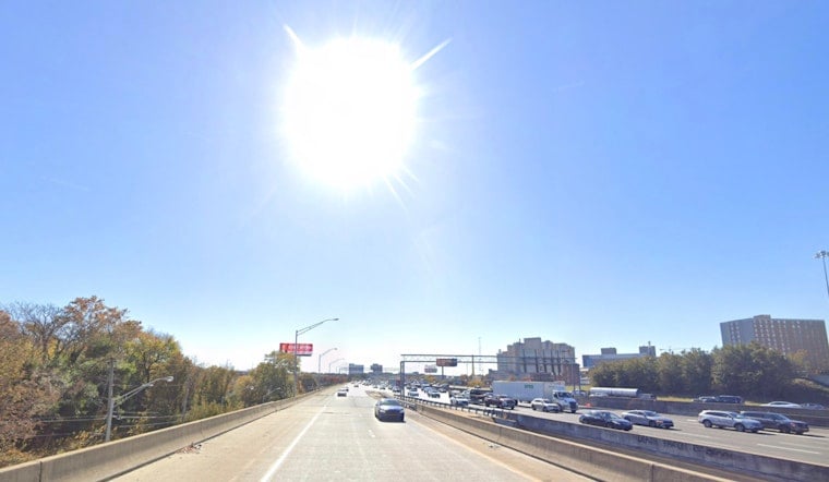
Saturday, July 11, 2026 — Atlanta woke up in a steam bath. Morning temperatures are sitting in the mid 70s under mostly clear skies, and the air is thick enough to feel. By this afternoon, thermometers are expected to climb into the low 90s, with humidity driving the heat index into the upper 90s. A few spotty showers may pop up early, but storm chances ramp up later in the day.
Afternoon Heat And Storms
A Heat Advisory is in effect from noon to 8 p.m. EDT Saturday for parts of east-central Georgia, with forecasters calling for highs near 92°F and heat-index values close to 99°F, according to the National Weather Service in Peachtree City. Scattered to numerous thunderstorms are anticipated this afternoon and evening, and a few stronger storms could pack damaging wind gusts and hail around an inch in diameter. Any storm that fires up with frequent lightning, sudden strong gusts or torrential downpours should be treated as potentially dangerous.
Timing And Impacts
Storm chances jump after about 2 p.m. and peak from late afternoon into the early evening, with around a 50% chance of showers and thunderstorms across the metro. West winds of 5 to 10 mph are expected, with gusts near 20 mph in general, but storm outflows can quickly produce much stronger and damaging gusts. Slow-moving cells can dump heavy rain in a short window, which raises the risk of street flooding and brief travel headaches around the evening commute.
Plan Ahead
If you can, shift strenuous outdoor plans to early morning or later in the evening, keep water handy, and keep an eye on conditions if you have to be out during peak heat. The City of Atlanta maintains a list of cooling centers and heat-relief resources for residents. Heading to a festival, ball game or cookout? Have a quick-shelter move in mind for lightning or heavy rain and leave those weather alerts turned on.
What’s Ahead
The unsettled pattern hangs around into Sunday and early next week, with a frontal boundary likely keeping showers and thunderstorms in the mix through Monday and Tuesday, while daytime highs ease back into the 80s. Multiple rounds of showers could lead to localized flooding in the usual slow-drain spots, so it is worth checking updated forecasts and local alerts before you hit the road.




