

























































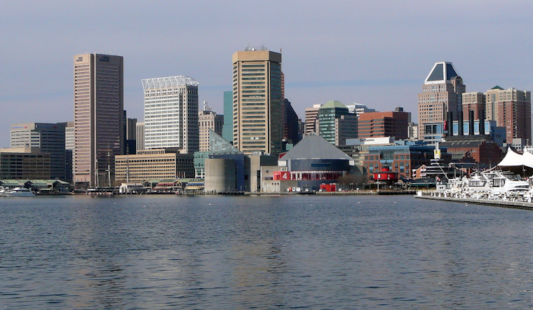
Clouds, humidity and a soupy sky are setting the stage for a stormy Saturday in Baltimore, with temperatures already in the mid-70s this morning and a much more active afternoon on deck for July 11. Highs should top out near 88°F, and the best bet for showers and thunderstorms is this afternoon into the evening. The main trouble window runs roughly from 2 p.m. to 8 p.m., when a few stronger storms could crank out damaging wind and torrential downpours. If you have outdoor plans, keep a backup spot in mind and be ready to duck inside quickly once storms start popping.
Afternoon Thunderstorm Risk
The National Weather Service expects scattered showers to develop by midday, with the highest chance for strong to borderline severe thunderstorms between about 2 p.m. and 8 p.m. Forecasters say some storms could deliver damaging straight-line winds and brief but intense rain that may trigger localized flash flooding. The office highlights a marginal risk for severe storms across parts of the region, along with a few spots where repeated cells could lead to brief flooding issues.
Timing And Commute Impacts
Scattered storms are likely to start firing early in the afternoon, with coverage increasing toward the evening rush. Drivers should be ready for sudden downpours, ponding on roads and rapidly dropping visibility. Slow-moving or training cells can overwhelm storm drains in a hurry, creating standing water on low-lying streets and boosting the odds of temporary road closures and transit delays. Riders would be wise to monitor service alerts and pad their travel time this afternoon and evening.
Heat Returns Midweek — Cooling Centers
Drier air tries to move in Monday and Tuesday, but a hot, sticky ridge is set to build back in by midweek. Highs are forecast to climb into the 90s by Wednesday, July 15, with heat indices near 100°F. Baltimore activates Code Red cooling centers during periods of extreme heat, and residents can check the city’s list for temporary cooling sites and hours. The list is available through health.maryland.gov, which provides options to get out of the worst of the heat if conditions ramp up.
Quick Safety Tips
Bring a rain jacket, keep wireless alerts enabled on your phone and stay tuned for any watches or warnings through this afternoon and evening. Avoid driving through standing water, secure loose outdoor furniture or yard items that could blow around in stronger gusts, and know your nearest cooling center location in case the midweek heat spike becomes too much.




