

























































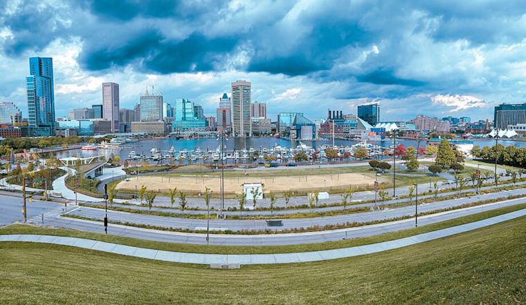
Baltimore woke up to a muggy, mostly cloudy this morning, around 73°F with dew points in the low 70s that made the air feel downright sticky. Skies should turn mostly sunny for a while, with temperatures topping out near 88°F this afternoon. After about 4 p.m., a small chance of showers and thunderstorms returns, with the strongest storms expected to stay south of the city, although a quick burst of strong wind or a brief downpour could still clip parts of the metro.
Afternoon Storm Risk
Scattered storms are expected to bubble up along a slow-moving frontal boundary this afternoon and into the early evening. A few of those cells could turn strong, with damaging wind as the main concern, but coverage around Baltimore is forecast to stay spotty, according to the National Weather Service. Keep your phone charged and know where you can head indoors quickly if radar shows a fast-moving storm bearing down.
Boaters And Commuters
Small Craft Advisories remain in effect for parts of the Chesapeake and nearby waters into early Thursday, so boaters should be ready for choppy conditions and gusty winds this afternoon and tonight. On the roads, any heavier downpours can cut visibility and make streets slick, so plan for a little extra time on the evening drive and steer clear of standing water. Tide levels near Havre de Grace may brush up close to minor flood stage this morning, but they are expected to stay just below it.
Cooler, Drier End To The Week
A cooler, drier airmass moves in on Thursday and should keep humidity in check through Saturday, with highs easing back into the low 80s and dew points feeling much more comfortable. For more on how this pattern is setting up and our earlier coverage, see the soggy sizzle setup.



.jpg)