

























































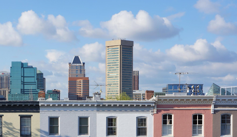
Morning update: Baltimore woke up to a warm, sticky start near 70°F at Martin State, with patchy fog clinging to the harbor and low-lying streets. Skies should clear out, setting up a mostly sunny day, with temperatures climbing to around 88°F this afternoon and light east winds keeping it relatively comfortable for now.
Heat Cranks Up Fast
The real heat arrives in a hurry this week. Temperatures are expected to reach the low 90s on Tuesday, then surge to highs near 100°F by Wednesday and Thursday, with west winds on Wednesday gusting up to 18 mph. According to the National Weather Service, the midsummer blast could get hot enough to trigger heat advisories if current trends hold.
Storm Wild Card Late Week
Confidence in the forecast drops heading into late week and the weekend. Some guidance keeps the extreme heat going, while other solutions bring a front that knocks temperatures back and sparks showers and storms. If the region ends up on the warmer side of that boundary, scattered storms from Friday through Sunday could turn strong, with the potential for damaging wind gusts and heavy downpours, so keep an eye on updates before locking in outdoor plans.
Coastal Flooding And Boaters
Coastal flood advisories and small-craft headlines are still in effect for parts of the Chesapeake into the early morning hours, with higher-than-normal tides likely to push water onto low docks and marinas. Annapolis may flirt with minor tidal flooding during the next high tides, so boaters and waterfront residents should secure gear, watch water levels closely, and avoid driving through any flooded streets.
What To Do
If you do not have reliable air conditioning, call 311 or check the Baltimore City Health Department Code Red resources for cooling-center locations and hours. Drink plenty of water, move strenuous activities to early morning or later in the evening, and never leave people or pets in vehicles during hot weather, even for a short time.





.jpg)