

























































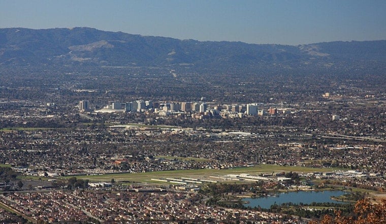
San Jose woke up under clear skies and a crisp 59°F this morning, with a classic summer setup on tap. Inland areas can expect mostly sunny conditions and highs near 81°F, with temperatures easing back a few degrees later this afternoon. North-northwest breezes are already stirring over the hills and are expected to strengthen as the day wears on.
Afternoon Winds Pick Up
This afternoon, north-northwest winds of 3 to 12 mph are in the forecast, with gusts up to about 21 mph on exposed ridges and along the Peninsula. That means a blustery ride for cyclists, a choppy crossing for ferry riders, and a tough day for anyone who forgot to secure the patio umbrella. Commuters should plan for extra time during the late-afternoon rush. Winds will ease overnight as temperatures dip to around 58°F.
Beach Hazards This Weekend
A Beach Hazards Statement is in effect from tomorrow morning through next Tuesday afternoon for Pacific-facing beaches, as long-period swell from Hurricane Fausto rolls in. Forecasters are calling for breaking waves up to about 10 feet at some south- and southwest-facing spots, along with a heightened risk of sneaker waves and strong rip currents that will make jetties and shorelines especially dangerous, according to the National Weather Service.
Boaters and Beachgoers
Small Craft Advisories and a brief Gale Warning are posted for parts of Monterey Bay and nearby coastal waters, so mariners should expect rough, wind-driven seas through the weekend. If you are heading for the sand, stay well back from the high-tide line, steer clear of piers and rocks, and only swim near lifeguards. Keep your eyes on the ocean at all times and keep children and pets away from the water's edge when the surf is running.
Weekend and Week Ahead
Temperatures are expected to remain near seasonal norms through early next week, with inland highs in the low 80s and overnight lows near 58°F. A gradual warmup is likely by mid to late next week, with highs climbing into the mid-80s by next Thursday. Onshore breezes should keep appearing each afternoon and evening, offering a bit of natural air conditioning even as the thermometer creeps upward.





