

























































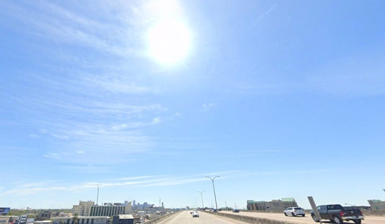
New Orleans started Tuesday, July 21, 2026, under clear but swampy skies, with morning temperatures stuck in the mid 80s and air you could practically drink. A Heat Advisory kicks in this afternoon, and by late week the spotlight turns to a tropical system in the northern Gulf that could sling coastal wind, surge and heavier rain toward the region. Today is all about managing the heat while keeping an eye on how things evolve into midweek.
Afternoon Heat And Pop-Up Storms
Sun dominates early, with a chance of showers and thunderstorms after 1 p.m. The high tops out near 96°F, and heat index values could spike to around 112°F, with north winds at 5 to 10 mph. The National Weather Service has a Heat Advisory in effect from noon to 7 p.m. CDT Tuesday and warns that the combination of hot temperatures and high humidity may lead to heat-related illness. Most storms that do form should be quick hitters and drop less than a tenth of an inch of rain for much of the metro, though localized downpours are still on the table, according to NWS New Orleans.
Tropical Storm Bertha Nears The Gulf
Tropical Storm Bertha is drifting northwest in the northern Gulf and is forecast to approach the region by midweek. Forecasters are watching for the possibility of tropical storm force gusts, locally heavy rain mainly south of I-10, and coastal surge. Tropical Storm Warnings and Storm Surge Watches are posted along portions of the Gulf Coast, and residents right along the water are urged to follow official guidance and secure loose items outdoors. The latest advisories are available from the National Hurricane Center.
Where Rain And Wind Could Hit Hardest
Coastal areas along and south of the I-10 corridor are set to take the brunt of it, with larger waves, higher surge and the heaviest rain most likely there. Much of inland New Orleans may only see brief, spotty showers. Even if rainfall totals stay modest in the city, strong gusts and quick-hit flooding on low-lying streets remain possible near the waterfront and barrier islands.
Heat Safety And Cooling Options
This afternoon, treat the heat like the main event. Drink plenty of water, ease up on strenuous outdoor plans and check in on older neighbors and anyone without air conditioning. The city lists cooling center locations, sandbag information and other emergency resources on its preparedness site at NOLA Ready, which includes addresses and hours.
Keep tabs on official channels through the afternoon and into midweek. The National Weather Service and local emergency officials may update advisories as Bertha’s track and strength become clearer. Check the forecast before heading out and consider pushing off intense outdoor activities during the hottest part of the day.





