

























































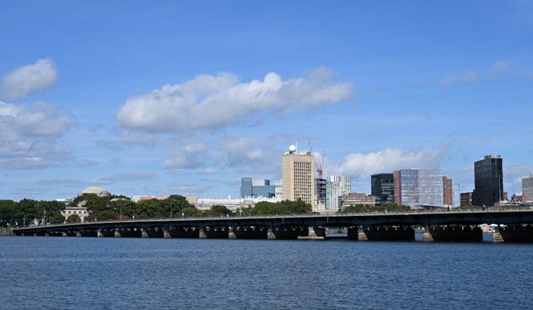
Boston is soaking up a bright, relatively smoke-free Friday morning, July 17, 2026, with temperatures climbing from the 60s into the lower 80s. The National Weather Service is calling for a high near 83°F today with northwest winds around 9–13 mph, making this the calmest and driest day of the week. Take advantage of the sun while you have it, because humidity and active weather are set to roar back over the weekend.
Tonight: Smoke Could Return
Return flow from the south may drag a smoke layer back into parts of the region after about 10 p.m., so some neighborhoods could notice a smoky smell or hazy skies overnight. Sensitive people should limit strenuous outdoor activity and keep an eye on current conditions, since, according to AirNow, air quality can swing quickly with shifting winds. For background on the recent haze, see how smoky skies and whipping winds turned Boston’s Thursday hazy.
Saturday Into Saturday Night: Heavy Rain And Flooding Risk
Saturday, July 18, turns very muggy with a high near 85°F as a plume of Gulf-sourced moisture surges north and southwest winds increase. Showers and a chance of thunderstorms will develop in the afternoon, then the main threat for heavy, potentially torrential downpours arrives late Saturday into the overnight, with the worst window into the early morning hours of Sunday, July 19, focused mostly along the Rhode Island and southeast Massachusetts South Coast. The National Weather Service warns that some storms could be severe and produce gusts near 30 mph, with brief, intense rain rates that may cause urban and flash flooding in vulnerable spots; see NWS Boston for details.
What To Expect And How To Plan
If you have outdoor plans Saturday night, shift them earlier or line up a dry backup. Heavy downpours can pop up quickly and turn low-lying city pockets into trouble spots with flooded streets. Small boats and ferry riders should be ready for gusty southwest winds and rougher seas Saturday evening into the overnight, so secure loose items and avoid exposed waters if possible. Keep phones charged, build in extra time for travel on wet roads, and watch for short-term warnings that could be issued Saturday evening.
Sunday: Drier And Less Humid
Sunday, July 19, should dry out with more sun and a high near 80°F as a drier airmass filters in, and west winds around 14 mph will make conditions feel fresher. The air will be noticeably less humid into early next week, though the overall pattern may turn active again by midweek, so it is worth checking updates before locking in any midweek outdoor events.





