

























































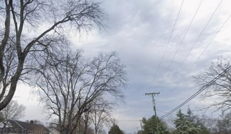
Boston woke up under a gray, filtered sky Thursday, with smoke and haze muting the sunshine and keeping the morning a touch cooler than it might have been. Temperatures are sitting near 70°F and are expected to climb to around 82°F later today. A strengthening west wind this afternoon will likely stir up that smoky layer, making the haze more noticeable around the city. The murky skies are courtesy of smoke transported from distant wildfires, which could trim visibility in parts of the metro, so if you were planning a long outdoor workout or park hang, you may want to cut it short or head indoors.
Afternoon Winds Pick Up
By this afternoon, west winds should run about 7–17 mph with gusts that could reach up to 28 mph. That extra oomph in the breeze may drag more smoke down to street level and knock visibility down to roughly 3–6 miles in spots. High temperatures are still on track to top out near 82°F, but the hazy sky will block some of the direct sun. These details are from the NWS Boston/Norton forecast and discussion.
Tonight And Friday
Areas of smoke will hang around into the evening, with a few isolated showers possible between about 8 p.m. and 3 a.m. Overnight lows should slip to around 65°F. A cold front will push through late tonight, flipping winds to the northwest and bringing in drier air, which should help scrub out much of the smoke by Friday. Friday itself looks like a reset button kind of day, with more sunshine, lower humidity and highs near 82°F on lighter northwest winds.
Air Quality Alert And Health Tips
The Massachusetts Department of Environmental Protection has an Air Quality Alert in place for fine particulate pollution through midnight Thursday night. Sensitive children, older adults and anyone with heart or lung disease should go easy on prolonged outdoor activity. For detailed guidance, check the Massachusetts DEP information and consider looking at AirNow for up-to-the-minute readings. Inside the house, keeping windows closed, running an air purifier if you have one and delaying heavy outdoor exercise until air quality improves are all smart moves.
Weekend Outlook
Saturday is set to turn warmer and stickier, with only a small chance of a stray afternoon shower. The main show arrives Saturday night into early Sunday when showers and thunderstorms are likely and could deliver locally heavy downpours. Behind that, Sunday should gradually dry out, and by Monday a cooler, less humid airmass settles in. If your big plans fall on Saturday night, be ready for a wet, possibly stormy stretch.
Boaters And Commuters
Mariners need to take note. A Small Craft Advisory for local waters kicks in around midday and lasts into the early overnight hours, with gusty winds and choppy seas expected, so small boats should steer clear of exposed waters. On land and sea, commuters can expect reduced visibility and occasional gusty crosswinds this afternoon and evening, which could slow bike, pedestrian or ferry trips. If you have travel or outdoor events lined up through the weekend, keeping an eye on official updates will help you dodge the worst of the weather.





