

























































The long-running debate over El Paso’s Border Highway is heading east. The Texas Department of Transportation’s El Paso District will host an in-person and virtual public meeting on Tuesday, Aug. 4, to gather community input on the Border Highway East corridor study. The session runs 5:30 to 7:30 p.m. Mountain Daylight Time at Clint High School, 13890 Alameda Ave. in Clint, with Spanish-speaking staff on hand. Officials say the meeting will walk residents through early concepts for a possible 20-mile extension of the César Chávez Border Highway toward Tornillo and FM 3380 (M.F. Aguilera Road).
Meeting Details
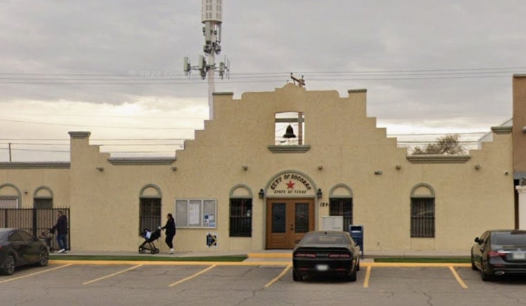
According to the City of Socorro, Texas - Government, the in-person portion will use an open house format with no formal presentation, and a Spanish-speaking team will be available throughout the evening. The post lists the meeting time and location and provides a primary project email contact at [email protected].
Attendees can walk through display boards at their own pace, talk directly with TxDOT staff, and leave written comments before they head out. It is the kind of setup where people can linger over maps, ask pointed questions, and not feel rushed to get everything in during a single slideshow.
What TxDOT Is Studying
According to the Texas Department of Transportation, the Border Highway East Corridor Study is a long-range planning effort aimed at identifying mobility concepts for southeast El Paso County. Agency materials explain that the corridor under review could become an approximately 20-mile extension of the César Chávez Border Highway from State Loop 375 (Americas Avenue) toward the Tornillo area.
TxDOT notes that what is on the table now is conceptual. A full build-out would still require years of environmental review, funding decisions, and additional rounds of public input long before any construction equipment shows up. The study materials link to maps, conceptual alternatives, and previous Planning and Environmental Linkages documents that lay out how different alignments might work.
Local Concerns And Context
Conservation advocates and many nearby residents have pushed back on alignments that would track close to the Rio Bosque Wetlands Park, warning that a highway next to the preserve could mean more noise, light, and habitat disruption. Reporting by The Texas Tribune has detailed previous public meetings where locals called for alternatives that emphasize better transit options and stronger protections for wildlife.
Coverage by El Paso Matters tracks how the study has moved through regional planning bodies and highlights that TxDOT officials continue to characterize the maps as preliminary. They stress that any selected route would still have to clear detailed environmental studies and federal reviews before it could move from planning to construction.
How To Weigh In
For those who cannot or would rather not attend in person, TxDOT is offering virtual access to the meeting materials, along with several ways to leave feedback. The agency’s project page has instructions for joining virtually and for submitting comments in writing.
Visit TxDOT El Paso District for online access details, comment forms, and voicemail options. The City of Socorro announcement also repeats the local meeting information and lists [email protected] and [email protected] as contacts for follow-up questions or additional input.




