

























































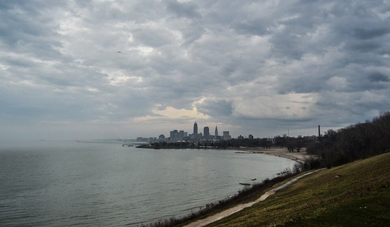
Cleveland is waking up to a soupy start today, with cloudy skies, thick humidity, and temperatures stuck near 73F. A light east breeze is barely cutting through the muggy air, and scattered showers are already spinning in off Lake Erie. Forecasters say those spotty showers are just the warm-up, with heavier storms expected to fire up through the day and unleash downpours that could quickly drop visibility and pond water across streets and parking lots. If your plans involve a patio, playground or ballfield this afternoon or evening, you will want a solid indoor backup. The heaviest rain and lightning are expected during peak daytime heating.
Flood Watch And Lake Hazards
The National Weather Service has issued a Flood Watch for much of north-central and northeast Ohio from 11 a.m. today, July 6, through this evening, warning that slow-moving thunderstorms may dump very heavy rain and trigger localized flash flooding. A Beach Hazards Statement is also in effect for parts of the lakeshore, notably Lorain and Cuyahoga counties, where a high rip current risk means swimmers are urged to stay out of Lake Erie altogether.
Meteorologists say storms could briefly wring out rain at rates of 23 inches per hour, with localized totals of several inches, and that small craft on the lake could face hazardous conditions. The combination of rough chop and strong onshore flow will make the water dangerous, and people are advised to avoid the lake and steer clear of piers and breakwalls. For more details, see NWS Cleveland.
Timing And Commute Impacts
Bands of showers and thunderstorms are already coming onshore from the lake this morning and are expected to expand and drift east-southeast across the region around midday. The highest coverage is expected from roughly noon to 4 p.m. EDT, with lingering pockets of rain and thunder possible into the evening.
Highs should top out near 79F, with northeast winds occasionally kicking into the teens in miles per hour. When storms roll through, brief but intense downpours may turn dry pavement slick in minutes and knock down visibility to a crawl. Drivers should factor in extra travel time, dodge obviously flooded side streets, and remember the rule that never goes out of style: do not try to drive through standing water. Just a few inches can stall a car or even push it off the road.
Beach And Boater Safety
Lakefront plans are taking a hit today. Rip currents can set up quickly along the shore, and longshore currents near piers can turn dangerous in a hurry. Small boats are better off staying tied up, with choppy water and gusty onshore winds creating a rough ride and hazardous conditions.
City lifeguards and public safety crews are expected to be on high alert and could end up pulling people from the water if conditions worsen. For background on how the setup has been building, see our July 5 storm alert breakdown.
What Comes Next
Conditions should gradually improve overnight, with the area drying out until tomorrow. Partly sunny skies are expected tomorrow with highs near 79F, and Wednesday looks more settled and sunnier, with temperatures climbing into the mid-80s.
In the meantime, residents are urged to keep an eye on any updates to watches and possible warnings this afternoon. If a Flash Flood Warning is issued for your neighborhood, follow local emergency instructions promptly and move to higher ground if asked.



.jpg)