

























































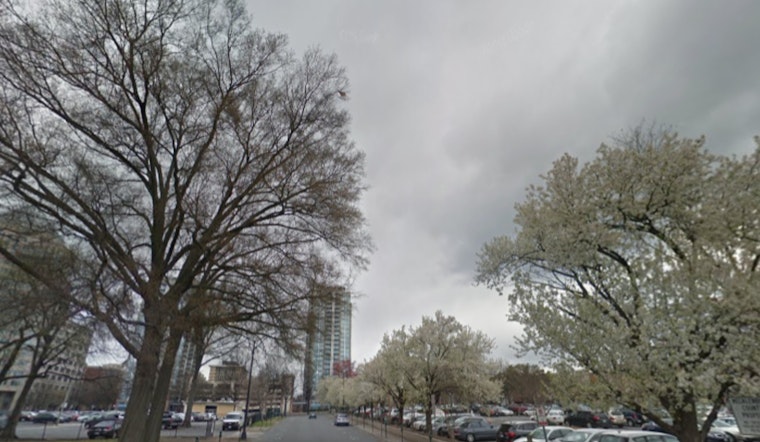
Washington is waking up to a steamy Thursday morning, July 9, with thick clouds, muggy air and temperatures already near 75°F. Dew points are stuck in the low 70s at Reagan National Airport, and scattered showers with a few spotty thunderstorms are sliding through the region. The real show is expected later, though, with repeated rounds of heavier storms on tap and a Flood Watch in effect for much of the D.C. metro from 2 p.m. to 11 p.m.
Afternoon Flood Risk
Forecasters are tracking clusters of strong to severe thunderstorms that are expected to barrel across the area late this afternoon into the evening, packing brief but intense downpours that can quickly overwhelm urban drainage. Rainfall rates could spike to 2–3 inches per hour in the heaviest cells, with most spots seeing around a quarter to a half inch of new rain and locally higher totals where storms linger. The watch, issued by the National Weather Service Baltimore/Washington, covers central D.C. and much of the I-95 corridor, where rapid rises in creeks, flooded underpasses and urban street flooding are all on the table.
Timing And Travel Impacts
Low clouds and patchy fog should lift around midday, but storm coverage is expected to ramp up through the afternoon as the atmosphere destabilizes. The most widespread and intense cells are likely between about 3 p.m. and 8 p.m., when storms could repeatedly track along the I-95 corridor, raising the risk of flash flooding and damaging wind gusts. Drivers should plan for slower commutes, potential detours around flooded spots and some transit delays. If you see water covering the road, do not try your luck: never drive through standing water.
What To Do Now
Before the worst of the weather arrives, move vehicles off streets that are known to flood, shift any outdoor plans inside and keep phones charged so emergency alerts can get through. If you encounter a flooded roadway, turn around instead of attempting to cross, avoid standing water and follow instructions from local emergency services if warnings or evacuations are issued.
Coastal Tide Briefing
A Coastal Flood Advisory affected parts of the Bay shoreline overnight, with near-minor inundation possible during early-morning high tides in vulnerable areas around Annapolis. Water levels are expected to gradually drop through the weekend, but low-lying waterfront streets and marina parking lots could still see some nuisance flooding this morning. For full advisory details, check the regional forecast office, according to the National Weather Service Baltimore/Washington.



