

























































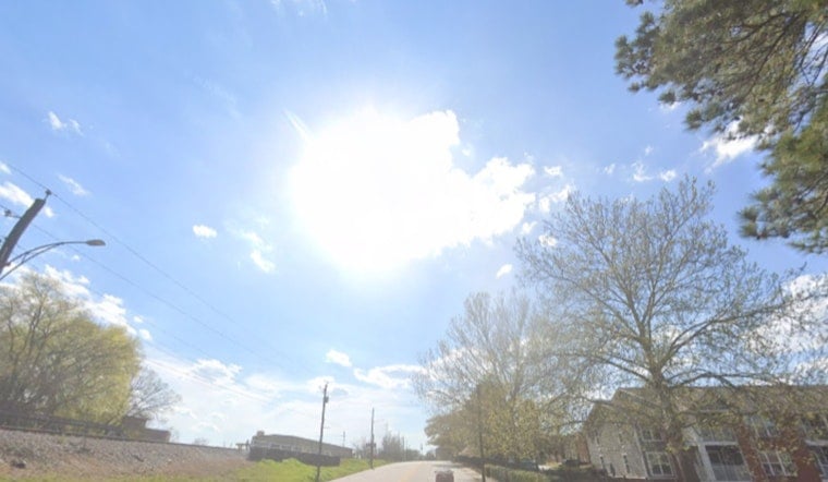
Washington finally hit the pause button on the sticky summer routine. As of Thursday morning, July 23, skies over D.C. are mostly clear and sitting near 68°F at Reagan National Airport, with noticeably drier, more comfortable air after a cooler night. Today is on track to be mostly sunny with highs around 82°F, a significant step down from the recent heat and a welcome setup for outdoor plans.
What To Expect Today
Sun wins the day. Skies trend mostly sunny through the afternoon, and a north breeze at 5–10 mph keeps humidity in check. Across the metro, highs land in the low 80s with little to no rainfall expected.
Tonight stays on the pleasant side of summer: clear and cool, with lows around 64°F in the city and dipping into the 50s in rural spots. According to the National Weather Service, below-average temperatures and mainly dry conditions should hold on into the weekend.
Weekend And Next Week
Friday and Saturday keep the streak going, with mostly sunny skies and highs near 82–83°F. By Sunday, though, the air starts to feel a bit thicker as humidity gradually creeps back.
Heat builds again by Monday, July 27, when forecasters are calling for highs near 90°F. Shower and thunderstorm chances ramp up on Tuesday, July 28. The shift toward higher humidity and storm risk started to come into focus yesterday; see our swampy sunrise setup for background on what is driving the change.
Boaters, Tides And Commute
Out on the water, Small Craft Advisories are in effect on portions of the Chesapeake and larger bay waters this morning, so boaters should expect choppy conditions that ease by midday.
Tidal levels are expected to hit a local minimum today before rebounding over the weekend. Forecasters note Annapolis could flirt with minor flood thresholds Saturday night, so waterfront visitors should stay alert for any updates.
On land, the morning commute looks mostly dry with light northerly breezes. Still, it is worth allowing a little extra time near low-lying streets and river valleys where pockets of fog could linger.
Bottom line: this is a rare midsummer day you might actually want to run your errands or grab an outdoor table in the afternoon. Just keep an eye on local alerts and the National Weather Service if you are heading out on the water or planning outdoor events later in the week as the heat and storm chances return.





