

























































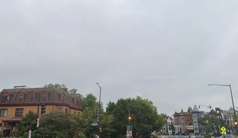
Washington woke up on the damp side Saturday. As of 5:40 a.m. ET on July 25, Reagan National Airport (KDCA) was reporting light rain and temperatures near 66°F, with wet streets across much of the District. That drizzle is expected to ease through the morning, clouds should give way to sunshine by late morning, and most neighborhoods are headed for a warm afternoon high near 84°F.
Morning Showers, Afternoon Sun
Scattered showers are most likely before 9 a.m., then skies should turn mostly sunny and warm as the day wears on. East winds stay calm, around 2 to 6 mph, and tonight is on track to be mostly clear with a low near 66°F. It is a split-personality kind of day: umbrella for the morning commute, sunglasses for the ride home.
Storm Risk Builds Next Week
Sunday keeps the improving trend going, looking sunnier and a touch warmer, with highs near 87°F. By Monday, temperatures climb toward about 90°F, with a chance of late-day showers trying to crash any evening plans.
Tuesday is the one to really watch. Showers and thunderstorms become more likely, and some storms could pack damaging gusts and torrential downpours. Tide-sensitive spots such as Annapolis could even approach minor flood thresholds early next week, according to the National Weather Service.
Heat Preparedness and Where To Cool Off
With highs near 90°F on Monday, anyone who is heat-sensitive should think ahead and dial back strenuous outdoor activity in the afternoon. If the city declares a heat emergency, cooling centers can open under the District’s existing plan. Details on how and when those centers are activated are laid out in the District Heat Plan.
Quick Tips
Grab an umbrella for morning errands, then switch to sunscreen once the sun breaks out for the warmer afternoon. Keep an eye on updated forecasts if you have outdoor plans Tuesday night, since storms could disrupt things. If you are traveling on the water or along tide-prone roads early next week, build in extra time in case of localized flooding or storm-related delays.





