

























































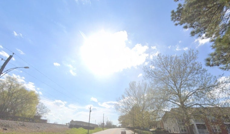
Fog and leftover fireworks smoke had parts of Washington looking like a movie set Sunday morning, while temperatures lingered in the mid-70s at Reagan National. On Sunday, July 5, 2026, the National Weather Service has a Heat Advisory in effect from 10 a.m. to 8 p.m., with highs near 97°F and heat-index values that could top 105–107°F. Scattered afternoon storms are possible, and heavier storms tonight may bring heavy rain and damaging gusts that could disrupt evening plans.
Heat Advisory And Peak Heat
The Heat Advisory covers Washington, D.C., for the hottest stretch of the day, and officials are urging residents to avoid prolonged outdoor exertion and to stay hydrated during the midday and afternoon hours. Expect southeast breezes around 1–6 mph this afternoon, offering little real relief from the humidity that is driving those dangerous heat-index readings. For the latest advisory text and any updates, see the National Weather Service.
Storms Tonight Could Be Heavy
Thunderstorm chances ramp up after about 2 p.m., with the strongest storms most likely late tonight into the overnight hours. Some cells could produce heavy rain and strong straight-line winds. Forecasters warn that repeated rounds of storms could lead to pockets of flash flooding in poor-drainage areas, so avoid driving through standing water. If you have outdoor plans this evening, be ready to seek shelter quickly and prepare for possible interruptions to transit and outdoor events.
Air Quality And Hazy Mornings
Air-quality officials have issued a Code Purple alert for the District, so people with asthma, COPD or other respiratory conditions should limit time outdoors and keep quick access to inhalers or medications. The morning haze is partly from firework smoke trapped overnight, and mixing later this morning should slowly clear the worst of it. For localized air-quality forecasts and health guidance, see the Metropolitan Washington Council of Governments.
Plan Ahead And Stay Safe
Temperatures are expected to ease back into the 80s by midweek as a front nudges south, although daily afternoon showers and storms remain possible through Tuesday. Simple steps still go a long way: stay hydrated, shift strenuous activity to morning hours, know where the nearest air-conditioned refuge is, and keep a charged phone for alerts. If someone you know is vulnerable to extreme heat, check on them and consider local cooling centers or dial 311 for District services.





